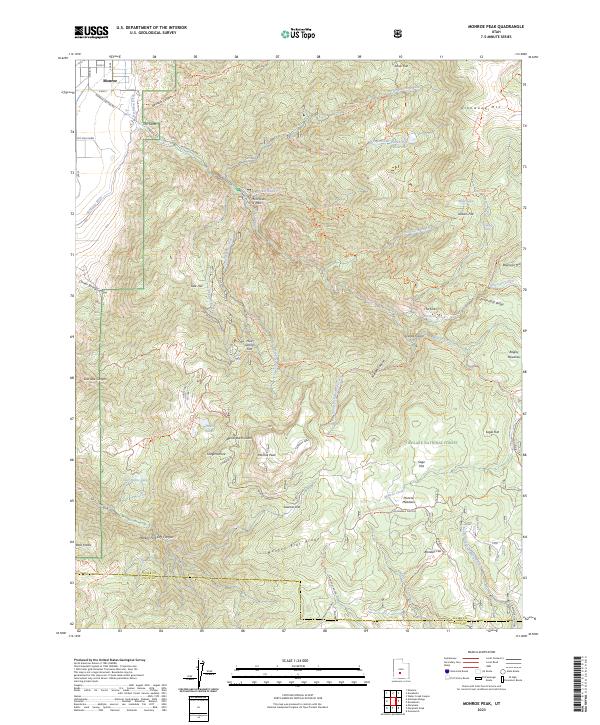
2023 Map of Monroe Peak
USGS Topo · Published 2023About this map
The town of Monroe sits at the edge of the Sevier Valley, where Bertlesen Ditch and Hot Springs mark the transition from lowland settlement to the rising elevations of Fishlake National Forest. The landscape is defined by the steep transition into Monroe Canyon, guarded by a narrow passage known as The Gates. Higher elevations reveal a network of grazing and agricultural history, seen in names like Pvt Mills Farm, Koosharem Pasture, and the cattle-trailing roots of Brindley Dairy Trl and Anderson Dairy Trl. The map documents a rugged interior reaching its zenith at Monroe Peak, where numerous alpine meadows such as Sage Flat and Sawmill Flat break the timberline. This area is heavily used for recreation and resource management, with a dense system of forest service trails like the Paiute (0-4) Trl and water management features like Shingle Creek Reservoir serving the valley below.
Find a feature on this map
78 named features on this map. Tap any name to fly to it.
Don’t see what you’re looking for? This feature index may not catch every label — zoom into the map to look around manually.
Map Details
Editions of this 2023 Monroe Peak Map
This is the sole edition of this map. No revisions or reprints were ever made.
Other maps of this area

1885 · Beaver
USGS Topo · 1:250,000

1885 · Fish Lake
USGS Topo · 1:250,000

1896 · Fish Lake
USGS Topo · 1:250,000

1940 · Monroe
USGS Topo · 1:62,500

1944 · Monroe
USGS Topo · 1:62,500

1945 · Marysvale
USGS Topo · 1:62,500

1947 · Marysvale
USGS Topo · 1:62,500

1953 · Richfield
USGS Topo · 1:250,000

1956 · Salina
USGS Topo · 1:250,000

1958 · Richfield
USGS Topo · 1:250,000