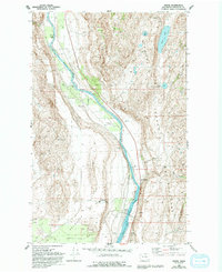
1993 Map of Monse
USGS Topo · Published 1993About this map
The Colville Indian Reservation boundary dominates the eastern bank of the Okanogan River in this 1993 revision, which captures the distinct intersection of mid-century infrastructure and traditional geography. The settlement of Monse and the nearby Wakefield site are positioned along the river corridor, while the technological presence of the Brewster Flat Earth Station stands on the plateau to the west. This combination of ranching terrain and telecommunications infrastructure highlights the evolving land use in Okanogan County during the late 20th century.
Find a feature on this map
27 named features on this map. Tap any name to fly to it.
Don’t see what you’re looking for? This feature index may not catch every label — zoom into the map to look around manually.
Map Details
Editions of this 1993 Monse Map
This is the sole edition of this map. No revisions or reprints were ever made.
Other maps of this area

1905 · Okanogan
USGS Topo · 1:125,000

1954 · Okanogan
USGS Topo · 1:250,000

1956 · Loup Loup
USGS Topo · 1:62,500

1957 · Okanogan
USGS Topo · 1:62,500

1957 · Bridgeport
USGS Topo · 1:62,500

1957 · Brewster
USGS Topo · 1:62,500

1958 · Okanogan
USGS Topo · 1:250,000

1980 · Okanogan
USGS Topo · 1:24,000
1980 · Bridgeport Point
USGS Topo · 1:24,000
1980 · Bridgeport
USGS Topo · 1:24,000