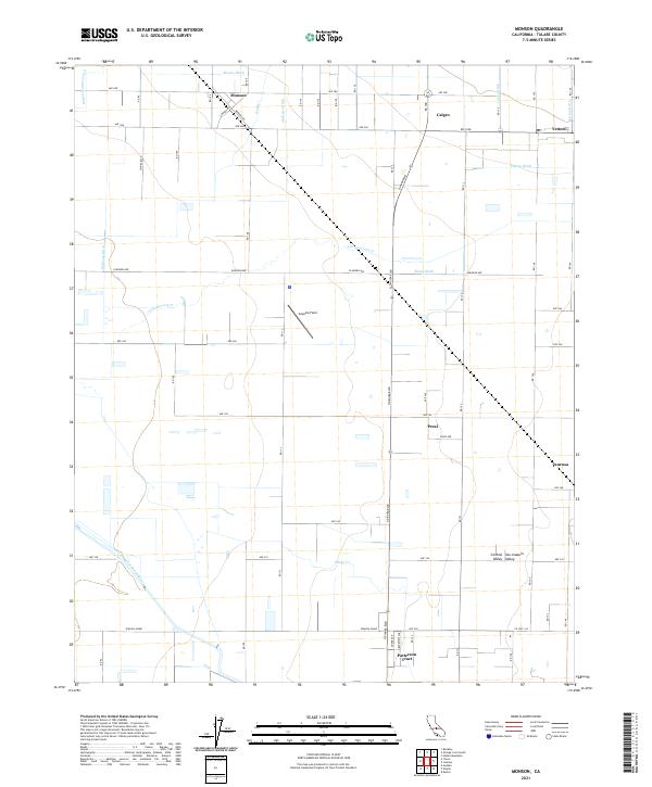
2021 Map of Monson
USGS Topo · Published 2021About this map
Agricultural life in the Central Valley is defined by an intricate network of irrigation and drainage infrastructure, with Cottonwood Cr and Elbow Cr winding through the landscape. The settlement of Monson serves as a central point in this part of the San Joaquin Valley, surrounded by smaller clusters like Calgro, Peral, and Taurusa. To the south, the Patterson Tract and the aviation history of Sequoia Field stand out against the grid-aligned roads and ditches. Water management is the primary driver of development here, evident in the numerous named waterways such as Wilson Hunter Ditch, Andrews Ditch, and Sontag Ditch that feed the productive lands surrounding Yettem and the banks of the Saint Johns River.
Find a feature on this map
41 named features on this map. Tap any name to fly to it.
Don’t see what you’re looking for? This feature index may not catch every label — zoom into the map to look around manually.
Map Details
Editions of this 2021 Monson Map
This is the sole edition of this map. No revisions or reprints were ever made.
Other maps of this area

1921 · Stokes Mountain
USGS Topo · 1:24,000

1922 · Trimmer
USGS Topo · 1:96,000

1923 · Sultana
USGS Topo · 1:31,680

1924 · Reedley
USGS Topo · 1:31,680

1924 · Dinuba
USGS Topo · 1:125,000

1924 · Stokes Mountain
USGS Topo · 1:31,680

1926 · Goshen
USGS Topo · 1:31,680

1926 · Ivanhoe
USGS Topo · 1:31,680

1926 · Exeter
USGS Topo · 1:31,680

1927 · Traver
USGS Topo · 1:31,680