Loading...
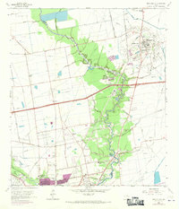
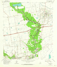
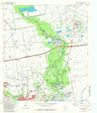
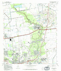
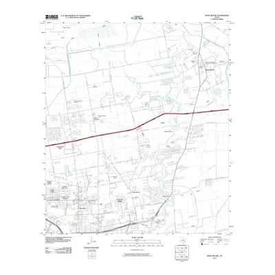
Loading map...1961 Map of Mont Belvieu
USGS Topo · Published 1970About this map
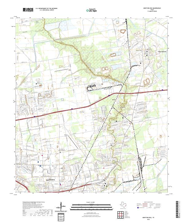
The salt dome geology of Barbers Hill defines this landscape in the early 1960s, a hub of oil production and storage infrastructure at the edge of the Chambers and Harris county line. The town of Mont Belvieu is situated atop this prominent terrain, surrounded by a dense network of pipelines that service the industrial corridor between the Southern Pacific railroad and the meandering Cedar Bayou.
Find a feature on this map
47 named features on this map. Tap any name to fly to it.
Don’t see what you’re looking for? This feature index may not catch every label — zoom into the map to look around manually.
Map Details
Date Portrayed1961
Date Published1970
PublisherU.S. Geological Survey
Map TypeTopographic
Scale1:24,000
Physical Dimensions23 x 26.9 inches
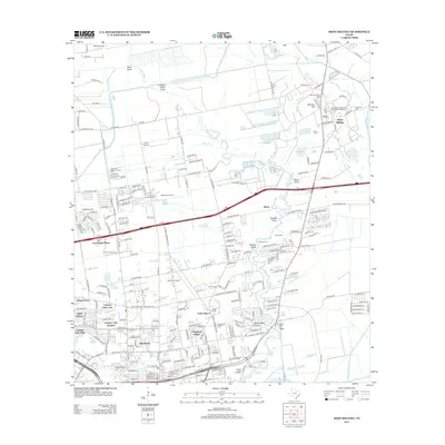
Editions of this 1961 Mont Belvieu Map
2 editions found
Historical Maps of Baytown Through Time
8 maps found
Featured Locations
Source Details
SourceU.S. Geological Survey
CopyrightPublic Domain