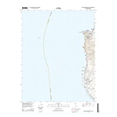
2015 Map of Montara Mountain OE W
USGS Topo · Published 2015About this map
Pacifica and the coastal communities of San Mateo County are captured in this 2015 survey, documenting the interface between the Pacific Ocean and the coastal range. The map illustrates the suburban expansion around San Pedro Valley and Moss Beach, with a dense grid of streets such as Farallone Ave and Sunshine Valley Rd serving the residential centers. A major topographical focus is the steep terrain around San Pedro Mtn and the iconic Devils Slide area, where the Devils Slide Trl now follows the path of the old coastal highway. The southern end of the sheet includes the Half Moon Bay Airport and the protected lands of the Golden Gate National Recreation Area, showing the region's balance between aviation infrastructure, residential development, and coastal conservation at Point Montara.
Find a feature on this map
53 named features on this map. Tap any name to fly to it.
Don’t see what you’re looking for? This feature index may not catch every label — zoom into the map to look around manually.
Map Details
Editions of this 2015 Montara Mountain OE W Map
This is the sole edition of this map. No revisions or reprints were ever made.
Other maps of this area

1892 · San Mateo
USGS Topo · 1:62,500

1896 · San Mateo
USGS Topo · 1:62,500

1899 · San Mateo
USGS Topo · 1:62,500

1902 · Santa Cruz
USGS Topo · 1:125,000

1915 · San Mateo
USGS Topo · 1:62,500

1939 · San Mateo
USGS Topo · 1:62,500

1940 · Halfmoon Bay
USGS Topo · 1:62,500

1943 · San Mateo
USGS Topo · 1:62,500

1943 · Halfmoon Bay
USGS Topo · 1:62,500

1947 · San Francisco
USGS Topo · 1:250,000