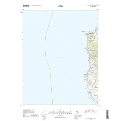
2018 Map of Montara Mountain OE W
USGS Topo · Published 2018About this map
Pacifica and the coastal communities of Pedro Valley and Moss Beach anchor this San Mateo County coastline, where the Santa Cruz Mountains meet the Pacific Ocean. The landscape is dominated by the sprawling protected lands of the Golden Gate National Recreation Area, which encompasses prominent coastal peaks like San Pedro Mtn and Montara Mtn. This modern survey illustrates the complex topography of the Devils Slide area and the transition from rugged headlands to the residential street grids found in Moss Beach.
Find a feature on this map
57 named features on this map. Tap any name to fly to it.
Don’t see what you’re looking for? This feature index may not catch every label — zoom into the map to look around manually.
Map Details
Editions of this 2018 Montara Mountain OE W Map
This is the sole edition of this map. No revisions or reprints were ever made.
Other maps of this area

1892 · San Mateo
USGS Topo · 1:62,500

1896 · San Mateo
USGS Topo · 1:62,500

1899 · San Mateo
USGS Topo · 1:62,500

1902 · Santa Cruz
USGS Topo · 1:125,000

1915 · San Mateo
USGS Topo · 1:62,500

1939 · San Mateo
USGS Topo · 1:62,500

1940 · Halfmoon Bay
USGS Topo · 1:62,500

1943 · San Mateo
USGS Topo · 1:62,500

1943 · Halfmoon Bay
USGS Topo · 1:62,500

1947 · San Francisco
USGS Topo · 1:250,000