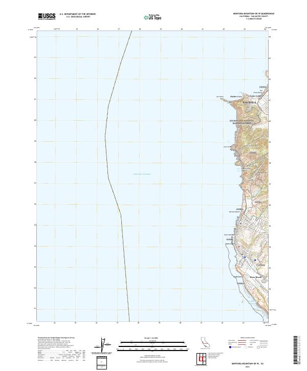
2021 Map of Montara Mountain OE W
USGS Topo · Published 2021About this map
Pacifica and the coastal settlements of Pedro Valley and Moss Beach anchor this San Mateo County survey, where the Santa Cruz Mountains meet the sea. The landscape is defined by the high peaks of San Pedro Mountain and Montara Mountain, partitioned by the protected lands of the Golden Gate National Recreation Area. Much of the coastline remains focused on recreation and preservation, with Devils Slide Beach and San Pedro Beach providing access to the rugged shore. A complex network of modern and legacy paths, including the Devils Slide Coastal Trail and the Old San Pedro Mountain Road Trail, traces the challenging geography where road engineering has long contended with the shifting earth at Devils Slide. To the south, the terrain levels out near the Half Moon Bay Airport and the cove at Whaleman Harbor.
Find a feature on this map
54 named features on this map. Tap any name to fly to it.
Don’t see what you’re looking for? This feature index may not catch every label — zoom into the map to look around manually.
Map Details
Editions of this 2021 Montara Mountain OE W Map
This is the sole edition of this map. No revisions or reprints were ever made.
Other maps of this area

1892 · San Mateo
USGS Topo · 1:62,500

1896 · San Mateo
USGS Topo · 1:62,500

1899 · San Mateo
USGS Topo · 1:62,500

1902 · Santa Cruz
USGS Topo · 1:125,000

1915 · San Mateo
USGS Topo · 1:62,500

1939 · San Mateo
USGS Topo · 1:62,500

1940 · Halfmoon Bay
USGS Topo · 1:62,500

1943 · San Mateo
USGS Topo · 1:62,500

1943 · Halfmoon Bay
USGS Topo · 1:62,500

1947 · San Francisco
USGS Topo · 1:250,000