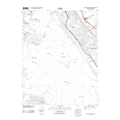
2012 Map of Montara Mountain
USGS Topo · Published 2012About this map
Montara Mountain dominates the central landscape of this 2012 survey, forming a high barrier between the Pacific coast and the developed corridors of the San Francisco Peninsula. To the west, the coastal communities of Linda Mar, Rockaway Beach, and Pedro Valley are defined by the narrow valleys of San Pedro Creek. Local heritage is marked by the Sanchez Adobe, a surviving link to the region's early ranching history.
Find a feature on this map
55 named features on this map. Tap any name to fly to it.
Don’t see what you’re looking for? This feature index may not catch every label — zoom into the map to look around manually.
Map Details
Editions of this 2012 Montara Mountain Map
This is the sole edition of this map. No revisions or reprints were ever made.
Other maps of this area
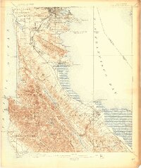
1892 · San Mateo
USGS Topo · 1:62,500
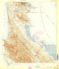
1896 · San Mateo
USGS Topo · 1:62,500
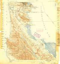
1899 · San Mateo
USGS Topo · 1:62,500

1902 · Santa Cruz
USGS Topo · 1:125,000
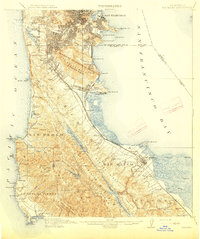
1915 · San Mateo
USGS Topo · 1:62,500
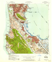
1939 · San Mateo
USGS Topo · 1:62,500
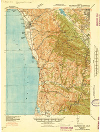
1940 · Halfmoon Bay
USGS Topo · 1:62,500
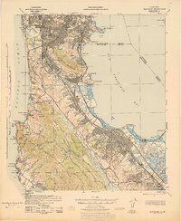
1943 · San Mateo
USGS Topo · 1:62,500
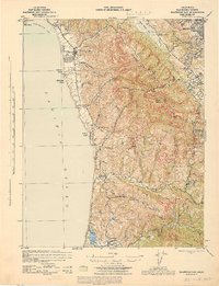
1943 · Halfmoon Bay
USGS Topo · 1:62,500
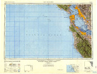
1947 · San Francisco
USGS Topo · 1:250,000