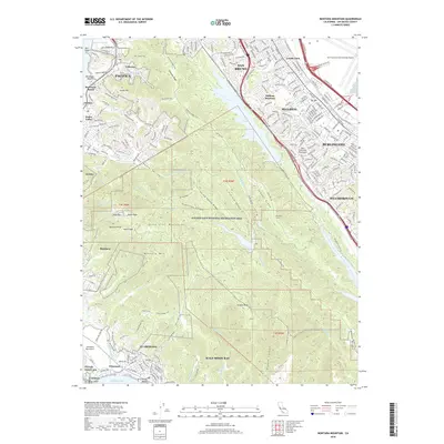
2018 Map of Montara Mountain
USGS Topo · Published 2018About this map
The Santa Cruz Mountains dominate the spine of the San Francisco Peninsula, creating a dramatic divide between the urbanized corridor of San Bruno and Millbrae to the east and the coastal enclaves of Pacifica and Half Moon Bay to the west. This 2018 survey illustrates the significant geographic footprint of the Golden Gate National Recreation Area, which preserves large tracts of land around Sweeney Ridge and Montara Mtn.
Find a feature on this map
102 named features on this map. Tap any name to fly to it.
Don’t see what you’re looking for? This feature index may not catch every label — zoom into the map to look around manually.
Map Details
Editions of this 2018 Montara Mountain Map
This is the sole edition of this map. No revisions or reprints were ever made.
Other maps of this area
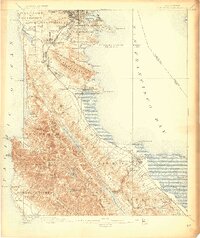
1892 · San Mateo
USGS Topo · 1:62,500
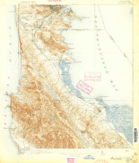
1896 · San Mateo
USGS Topo · 1:62,500
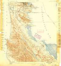
1899 · San Mateo
USGS Topo · 1:62,500

1902 · Santa Cruz
USGS Topo · 1:125,000
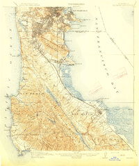
1915 · San Mateo
USGS Topo · 1:62,500
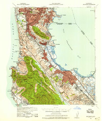
1939 · San Mateo
USGS Topo · 1:62,500
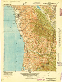
1940 · Halfmoon Bay
USGS Topo · 1:62,500
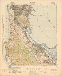
1943 · San Mateo
USGS Topo · 1:62,500
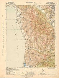
1943 · Halfmoon Bay
USGS Topo · 1:62,500
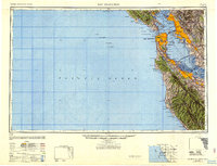
1947 · San Francisco
USGS Topo · 1:250,000