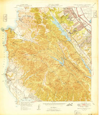
1949 Map of Montara Mountain
USGS Topo · Published 1949About this map
Montara Mountain dominates this coastal landscape, serving as a high-altitude spine between the burgeoning suburban developments of the Peninsula and the rocky Pacific shore. To the east, the post-war expansion of San Bruno, Millbrae, and Burlingame is clearly visible, concentrated along the Southern Pacific rail line and El Camino Real. The presence of the San Francisco International Airport on the bayside and the Half Moon Bay Airport to the south indicates the area's growing strategic importance for regional aviation during the late 1940s.
Find a feature on this map
69 named features on this map. Tap any name to fly to it.
Don’t see what you’re looking for? This feature index may not catch every label — zoom into the map to look around manually.
Map Details
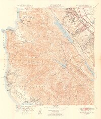
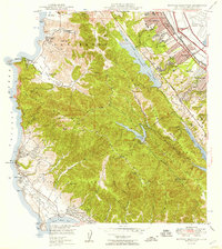
Editions of this 1949 Montara Mountain Map
3 editions found
Other maps of this area

1892 · San Mateo
USGS Topo · 1:62,500

1896 · San Mateo
USGS Topo · 1:62,500

1899 · San Mateo
USGS Topo · 1:62,500

1902 · Santa Cruz
USGS Topo · 1:125,000

1915 · San Mateo
USGS Topo · 1:62,500

1939 · San Mateo
USGS Topo · 1:62,500

1940 · Halfmoon Bay
USGS Topo · 1:62,500

1943 · San Mateo
USGS Topo · 1:62,500

1943 · Halfmoon Bay
USGS Topo · 1:62,500

1947 · San Francisco
USGS Topo · 1:250,000