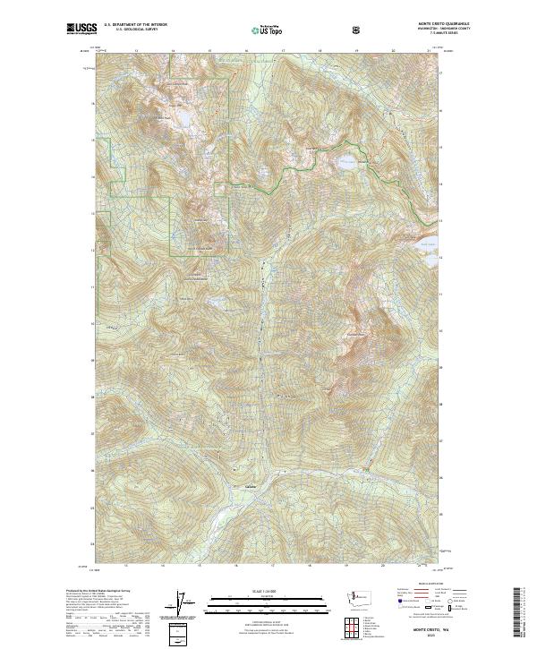
2023 Map of Monte Cristo
USGS Topo · Published 2023About this map
Galena sits at the confluence of Howard Creek and the North Fork Skykomish River, representing a point of human settlement within a landscape largely defined by the protected boundaries of the Snoqualmie National Forest and Wild Sky Wilderness. The topography is dominated by high-altitude features and passes that have long challenged travel through the Cascades, including the aptly named Poodle Dog Pass and Sheep Gap. This 2023 survey illustrates how water systems like the South Fork Sauk River and Silver Creek carve through the high peaks.
Find a feature on this map
73 named features on this map. Tap any name to fly to it.
Don’t see what you’re looking for? This feature index may not catch every label — zoom into the map to look around manually.
Map Details
Editions of this 2023 Monte Cristo Map
This is the sole edition of this map. No revisions or reprints were ever made.
Other maps of this area

1899 · Glacier Peak
USGS Topo · 1:125,000

1899 · Stillaguamish
USGS Topo · 1:125,000

1901 · Glacier Peak
USGS Topo · 1:125,000

1901 · Stilaguamish
USGS Topo · 1:125,000

1902 · Skykomish
USGS Topo · 1:125,000

1905 · Skykomish
USGS Topo · 1:125,000

1921 · Sultan
USGS Topo · 1:125,000

1923 · Sultan
USGS Topo · 1:125,000

1955 · Concrete
USGS Topo · 1:250,000

1957 · Silverton
USGS Topo · 1:62,500