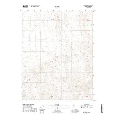
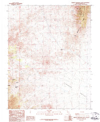
2018 Map of Monte Mountain
USGS Topo · Published 2018About this map
The Timpahute Range dominates this portion of Lincoln County, defining a landscape where survival and travel are dictated by the sparse availability of water. High-elevation landmarks like Monte Mtn and the distinctive Chocolate Drop provide orientation for those navigating the arid terrain. The presence of Tempiute Mine Rd and Schofield Pass indicates the historic routes used by miners and ranchers to traverse these mountains.
Find a feature on this map
20 named features on this map. Tap any name to fly to it.
Don’t see what you’re looking for? This feature index may not catch every label — zoom into the map to look around manually.
Map Details
Editions of this 2018 Monte Mountain Map
This is the sole edition of this map. No revisions or reprints were ever made.
Other maps of this area

1942 · Penoyer Valley
USGS Topo · 1:125,000

1954 · Caliente
USGS Topo · 1:250,000

1959 · Caliente
USGS Topo · 1:250,000

1964 · Tempiute Mtn
USGS Topo · 1:62,500
1985 · Mount Irish
USGS Topo · 1:24,000
1985 · Crescent Spring
USGS Topo · 1:24,000

1985 · Murphy Gap
USGS Topo · 1:24,000

1985 · Worthington Peak SW
USGS Topo · 1:24,000
1985 · Meeker Peak
USGS Topo · 1:24,000
1987 · Tempiute Mountain South
USGS Topo · 1:24,000