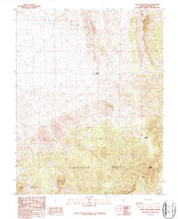
1987 Map of Monte Mountain
USGS Topo · Published 1987About this map
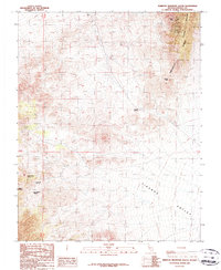
The Timpahute Range dominates this late-twentieth-century study of Lincoln County, where the high desert landscape is punctuated by vital water sources. Names like Monte Spring, Tunnel Spring, and Penoyer Springs highlight the importance of these isolated features in an arid environment. Near the southern slopes of Monte Mountain, a recorded Prospect indicates the area's historical connection to mineral exploration, even in its more remote reaches. Further west, the terrain shifts near Schofield Pass and the curiously named Chocolate Drop formation. This 1987 edition represents a provisional revision of mid-century aerial surveys, documenting the exact locations of ephemeral water sites like The Seeps as they were known during the 1980s.
Find a feature on this map
10 named features on this map. Tap any name to fly to it.
Don’t see what you’re looking for? This feature index may not catch every label — zoom into the map to look around manually.
Map Details
Editions of this 1987 Monte Mountain Map
This is the sole edition of this map. No revisions or reprints were ever made.
Other maps of this area

1942 · Penoyer Valley
USGS Topo · 1:125,000

1954 · Caliente
USGS Topo · 1:250,000

1959 · Caliente
USGS Topo · 1:250,000

1964 · Tempiute Mtn
USGS Topo · 1:62,500
1985 · Mount Irish
USGS Topo · 1:24,000
1985 · Crescent Spring
USGS Topo · 1:24,000

1985 · Murphy Gap
USGS Topo · 1:24,000

1985 · Worthington Peak SW
USGS Topo · 1:24,000
1985 · Meeker Peak
USGS Topo · 1:24,000
1987 · Tempiute Mountain South
USGS Topo · 1:24,000