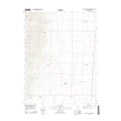
2015 Map of Monte Neva Hot Springs
USGS Topo · Published 2015About this map
Monte Neva Hot Springs and Warm Springs anchor this arid landscape within White Pine County, where water sources dictate the geography of the high desert. To the west, the steep slopes of the Egan Range are cut by a series of dramatic drainages, including Pluto Canyon, Log Canyon, and Boneyard Canyon. These canyons descend toward the valley floor, where ephemeral and perennial water features like Duck Cr and Cold Spring provide critical relief. The transport network reflects a transition from early pioneer routes to modern transit, evidenced by the alignment of Old Highway 93 and several county roads. The map illustrates a classic Great Basin pattern of mountain-front hydrology, where hot and cold springs emerge at the feet of prominent landmarks like Telegraph Hill.
Find a feature on this map
27 named features on this map. Tap any name to fly to it.
Don’t see what you’re looking for? This feature index may not catch every label — zoom into the map to look around manually.
Map Details
Editions of this 2015 Monte Neva Hot Springs Map
This is the sole edition of this map. No revisions or reprints were ever made.
Other maps of this area

1956 · Ely
USGS Topo · 1:250,000

1959 · Ely
USGS Topo · 1:250,000

1963 · Ely
USGS Topo · 1:250,000

1982 · Borchert Spring
USGS Topo · 1:24,000
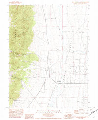
1982 · Monte Neva Hot Springs
USGS Topo · 1:24,000
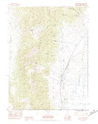
1982 · Steptoe Ranch
USGS Topo · 1:24,000
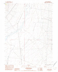
1982 · Steptoe
USGS Topo · 1:24,000
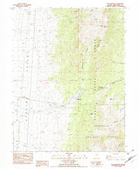
1982 · Schellbourne
USGS Topo · 1:24,000
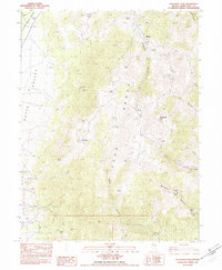
1982 · Telegraph Peak
USGS Topo · 1:24,000
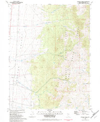
1982 · Mattier Creek
USGS Topo · 1:24,000