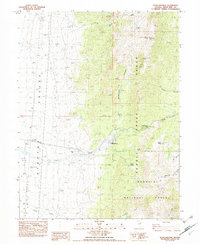
1982 Map of Schellbourne
USGS Topo · Published 1982About this map
Schellbourne (Schellbourne Ranch) stands as a focal point of human activity within this high-desert landscape, situated where the Schell Range meets the broad Steptoe Valley. This area, significant for its position along the historic Pony Express and overland routes, features a Historical Monument and a small Cem cemetery, hinting at the long-standing ranching and transit history of White Pine County. The map details the transition from the flat valley floor to the steep eastern peaks, such as North Lovell Peak and Lovell Peak.
Find a feature on this map
37 named features on this map. Tap any name to fly to it.
Don’t see what you’re looking for? This feature index may not catch every label — zoom into the map to look around manually.
Map Details
Editions of this 1982 Schellbourne Map
This is the sole edition of this map. No revisions or reprints were ever made.
Other maps of this area

1956 · Ely
USGS Topo · 1:250,000

1959 · Ely
USGS Topo · 1:250,000

1963 · Ely
USGS Topo · 1:250,000

1982 · Borchert Spring
USGS Topo · 1:24,000

1982 · Cherry Spring
USGS Topo · 1:24,000
1982 · Monte Neva Hot Springs
USGS Topo · 1:24,000
1982 · Becky Peak
USGS Topo · 1:24,000
1982 · Silver Canyon
USGS Topo · 1:24,000
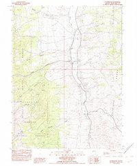
1982 · Stonehouse
USGS Topo · 1:24,000
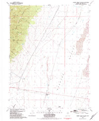
1982 · Cherry Creek Station
USGS Topo · 1:24,000