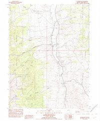
1982 Map of Stonehouse
USGS Topo · Published 1982About this map
Stonehouse and several isolated homesteads sit in the high desert corridor between the Schell Creek Range and the Antelope Range in the early 1980s. This drainage basin, dominated by Spring Valley Creek, relies on a network of water sources such as Twin Springs, Crystal Spring, and Mud Springs to support livestock and habitation. The presence of the Rosenlund Ranch, D Henriod Ranch, and Bews Ranch illustrates the scattered nature of ranching operations in this part of Humboldt National Forest. Land use is further evidenced by a Borrow Pit and a series of 4wd tracks that provide access through the complex topography of Stage Canyon and Garrett Canyon. The map reveals the specific infrastructure required for survival in the Great Basin, where named draws and gulches serve as vital markers for local navigation and land management.
Find a feature on this map
23 named features on this map. Tap any name to fly to it.
Don’t see what you’re looking for? This feature index may not catch every label — zoom into the map to look around manually.
Map Details
Editions of this 1982 Stonehouse Map
This is the sole edition of this map. No revisions or reprints were ever made.
Other maps of this area

1956 · Ely
USGS Topo · 1:250,000

1959 · Ely
USGS Topo · 1:250,000

1963 · Ely
USGS Topo · 1:250,000

1982 · Cherry Spring
USGS Topo · 1:24,000
1982 · Becky Peak
USGS Topo · 1:24,000
1982 · Silver Canyon
USGS Topo · 1:24,000
1982 · Schellbourne
USGS Topo · 1:24,000
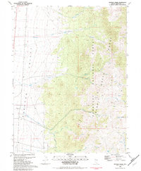
1982 · Mattier Creek
USGS Topo · 1:24,000
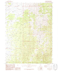
1986 · Baldy Peak
USGS Topo · 1:24,000
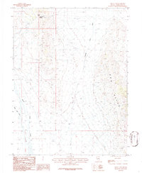
1986 · Tippett Pass
USGS Topo · 1:24,000