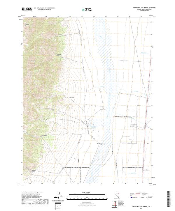
2021 Map of Monte Neva Hot Springs
USGS Topo · Published 2021About this map
The Egan Range dominates the western topography of this White Pine County landscape, where steep slopes give way to the broad basin of the Steptoe Valley. The central feature of the lowlands is the Monte Neva Hot Springs, a geothermal landmark located near the settlement of Warm Springs. This area has long served as a critical water source in an otherwise arid environment, evidenced by the concentration of riparian features like Duck Creek and Cold Spring that thread through the valley floor.
Find a feature on this map
26 named features on this map. Tap any name to fly to it.
Don’t see what you’re looking for? This feature index may not catch every label — zoom into the map to look around manually.
Map Details
Editions of this 2021 Monte Neva Hot Springs Map
This is the sole edition of this map. No revisions or reprints were ever made.
Other maps of this area

1956 · Ely
USGS Topo · 1:250,000

1959 · Ely
USGS Topo · 1:250,000

1963 · Ely
USGS Topo · 1:250,000

1982 · Borchert Spring
USGS Topo · 1:24,000
1982 · Monte Neva Hot Springs
USGS Topo · 1:24,000
1982 · Steptoe Ranch
USGS Topo · 1:24,000
1982 · Steptoe
USGS Topo · 1:24,000
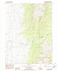
1982 · Schellbourne
USGS Topo · 1:24,000
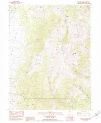
1982 · Telegraph Peak
USGS Topo · 1:24,000
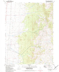
1982 · Mattier Creek
USGS Topo · 1:24,000