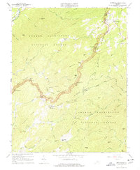
1965 Map of Montebello
USGS Topo · Published 1977About this map
Montebello serves as a focal point for this mountainous region of the Blue Ridge, where the high-altitude landscape is defined by the winding Blue Ridge Parkway and the Appalachian Trail. The survey details a rugged interior within the George Washington National Forest, characterized by numerous hollows and steep ridges such as Whetstone Ridge and Yankee Horse Ridge. Local life is anchored by small settlements like Alto and Irish Creek, with the latter featuring the Irish Creek Cem and proximity to the Myers Sch. In the northeast corner, the Fish Hatchery and Mt Paran Ch mark the community of Montebello, while the Norfolk and Western Rwy cuts through the extreme northwest along the South Fork Rockfish River. The map captures a transition between the high ridges and the headwaters of several drainages, including the Pedlar River and Piney River, illustrating the complex hydrology of the central Virginia highlands.
Find a feature on this map
76 named features on this map. Tap any name to fly to it.
Don’t see what you’re looking for? This feature index may not catch every label — zoom into the map to look around manually.
Map Details
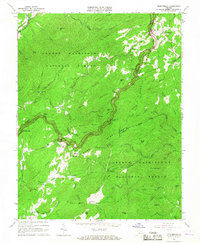
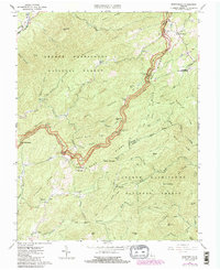
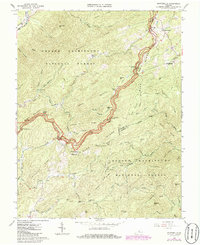
Editions of this 1965 Montebello Map
4 editions found
Other maps of this area

1894 · Lexington
USGS Topo · 1:125,000

1932 · Lexington
USGS Topo · 1:48,000

1935 · Buena Vista
USGS Topo · 1:48,000

1935 · Amherst
USGS Topo · 1:48,000

1936 · Vesuvius
USGS Topo · 1:48,000

1937 · Lexington
USGS Topo · 1:62,500

1939 · Amherst
USGS Topo · 1:62,500

1939 · Buena Vista
USGS Topo · 1:62,500

1940 · Buena Vista
USGS Topo · 1:62,500

1941 · Vesuvius
USGS Topo · 1:62,500