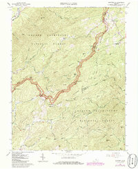
1965 Map of Montebello
USGS Topo · Published 1986About this map
Montebello and the surrounding high-altitude terrain of the George Washington National Forest define this mid-1960s survey along the Blue Ridge. The map follows the winding path of the Blue Ridge Parkway as it snakes across the crest, passing notable landmarks like the Yankee Horse Ridge Parking Area and the Stillhouse Hollow Parking Area. In the valleys below, small settlements and family sites are documented, including Alto and the Myers Sch. The presence of several family or community burial grounds, such as Irish Creek Cem, Grant Cem, and Statons Cem, provides a detailed geographic record for genealogical research in this part of Rockbridge, Nelson, and Amherst Counties. The landscape is characterized by deep hollows like Dismal Hollow and Taylor Hollow that drain into prominent water bodies such as Irish Creek and the South River.
Find a feature on this map
63 named features on this map. Tap any name to fly to it.
Don’t see what you’re looking for? This feature index may not catch every label — zoom into the map to look around manually.
Map Details
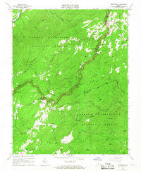
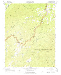
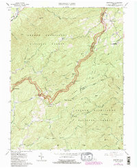
Editions of this 1965 Montebello Map
4 editions found
Other maps of this area

1894 · Lexington
USGS Topo · 1:125,000

1932 · Lexington
USGS Topo · 1:48,000

1935 · Buena Vista
USGS Topo · 1:48,000

1935 · Amherst
USGS Topo · 1:48,000

1936 · Vesuvius
USGS Topo · 1:48,000

1937 · Lexington
USGS Topo · 1:62,500

1939 · Amherst
USGS Topo · 1:62,500

1939 · Buena Vista
USGS Topo · 1:62,500

1940 · Buena Vista
USGS Topo · 1:62,500

1941 · Vesuvius
USGS Topo · 1:62,500