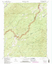
1965 Map of Montebello
USGS Topo · Published 1986About this map
The Blue Ridge Parkway carves a winding path through the high ridges of the George Washington National Forest, marking the complex junction of Rockbridge, Nelson, and Amherst counties. This mid-1960s landscape is defined by its deep mountain hollows and the early infrastructure of mountain recreation and conservation. The village of Montebello serves as a local hub, situated near the Montebello State Fish Hatchery and Mt Paran Ch. High-altitude landmarks like Yankee Horse Ridge and the Appalachian Trail emphasize the area's transition toward a recreational economy, though the presence of an unnamed Mine near Whetstone Creek and local family landmarks like the Grant Cem and Irish Creek Cem speak to older patterns of settlement and resource extraction. The map also captures the remote Myers Sch and various shelters along the timbered slopes of McClung Mtn and Boston Mountain.
Find a feature on this map
72 named features on this map. Tap any name to fly to it.
Don’t see what you’re looking for? This feature index may not catch every label — zoom into the map to look around manually.
Map Details
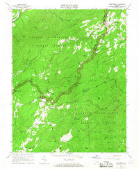
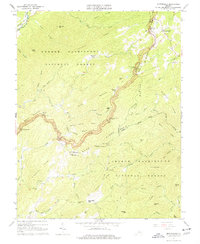
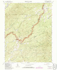
Editions of this 1965 Montebello Map
4 editions found
Other maps of this area

1894 · Lexington
USGS Topo · 1:125,000

1932 · Lexington
USGS Topo · 1:48,000

1935 · Buena Vista
USGS Topo · 1:48,000

1935 · Amherst
USGS Topo · 1:48,000

1936 · Vesuvius
USGS Topo · 1:48,000

1937 · Lexington
USGS Topo · 1:62,500

1939 · Amherst
USGS Topo · 1:62,500

1939 · Buena Vista
USGS Topo · 1:62,500

1940 · Buena Vista
USGS Topo · 1:62,500

1941 · Vesuvius
USGS Topo · 1:62,500