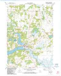
1984 Map of Montello
USGS Topo · Published 1984About this map
The Marquette County seat of Montello is defined by its position at the confluence of the Montello River and the Fox River, where the geography is dominated by an intricate chain of lakes. This 1980s-era revision highlights a landscape transitioning from rural agricultural townships like Shields and Harris into a central hub of water-based recreation and infrastructure. Significant landmarks include the Snow Crest and Sky Lodge landing strips, alongside several gravel pits and sandpits that point to the local extractive industry.
Find a feature on this map
44 named features on this map. Tap any name to fly to it.
Don’t see what you’re looking for? This feature index may not catch every label — zoom into the map to look around manually.
Map Details
Editions of this 1984 Montello Map
This is the sole edition of this map. No revisions or reprints were ever made.
Other maps of this area

1902 · Portage
USGS Topo · 1:62,500

1915 · Neshkoro
USGS Topo · 1:48,000

1918 · Neshkoro
USGS Topo · 1:62,500

1955 · Randolph
USGS Topo · 1:62,500

1957 · Madison
USGS Topo · 1:250,000

1960 · Madison
USGS Topo · 1:250,000

1961 · Montello
USGS Topo · 1:62,500

1962 · Portage
USGS Topo · 1:62,500

1963 · Neshkoro
USGS Topo · 1:62,500
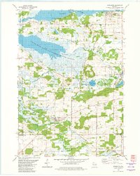
1980 · Marquette
USGS Topo · 1:24,000