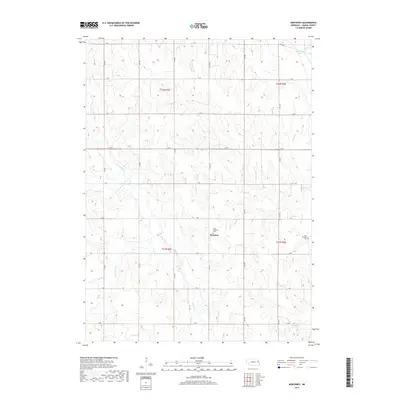
2017 Map of Monterey
USGS Topo · Published 2017About this map
Monterey serves as the focal point for this agrarian section of Cuming County, where the landscape is defined by the branching waterways of Pebble Cr. The township divisions of t22n r5e, t22n r6e, t21n r5e, and t21n r6e organize a strictly gridded road network, from J Rd in the north to B Rd in the south. This systematic layout highlights the enduring structure of Nebraska's rural sections, where local life centered around small community hubs and their corresponding burial grounds.
Find a feature on this map
29 named features on this map. Tap any name to fly to it.
Don’t see what you’re looking for? This feature index may not catch every label — zoom into the map to look around manually.
Map Details
Editions of this 2017 Monterey Map
This is the sole edition of this map. No revisions or reprints were ever made.
Other maps of this area

1955 · Fremont
USGS Topo · 1:250,000

1957 · Fremont
USGS Topo · 1:250,000

1958 · Fremont
USGS Topo · 1:250,000

1963 · Wisner
USGS Topo · 1:24,000

1966 · West Point NW
USGS Topo · 1:24,000

1966 · Monterey
USGS Topo · 1:24,000
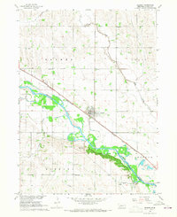
1966 · Beemer
USGS Topo · 1:24,000

1966 · Snyder
USGS Topo · 1:24,000

1966 · Aloys
USGS Topo · 1:24,000

1966 · Scribner
USGS Topo · 1:24,000