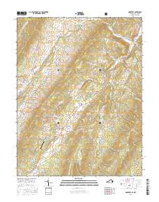
2016 Map of Monterey
USGS Topo · Published 2016About this map
Monterey serves as a focal point for this section of Highland County, situated where the Mountain Tpke meets local routes near the distinct volcanic cone of Trimble Knob. The landscape is defined by the parallel ridges of Monterey Mtn and Jack Mountain, which channel the S Br Potomac River and its tributaries through high-altitude basins like Bluegrass Valley. To the north, the small settlement of New Hampden sits along the river, while Possum Trot and Doe Hill occupy the eastern valleys. Much of the western terrain is protected within the George Washington National Forest, where steep slopes rise toward Lantz Mtn. This geography created a traditional Appalachian upland economy, where narrow gaps and hollows like Halterman Hollow provided the only viable paths for settlement and transit between the massive limestone and sandstone ridges.
Find a feature on this map
79 named features on this map. Tap any name to fly to it.
Don’t see what you’re looking for? This feature index may not catch every label — zoom into the map to look around manually.
Map Details
Editions of this 2016 Monterey Map
This is the sole edition of this map. No revisions or reprints were ever made.
Other maps of this area

1889 · Beverly
USGS Topo · 1:125,000

1892 · Beverly
USGS Topo · 1:125,000

1892 · Franklin
USGS Topo · 1:125,000

1894 · Staunton
USGS Topo · 1:125,000

1896 · Franklin
USGS Topo · 1:125,000

1901 · Monterey
USGS Topo · 1:125,000

1922 · Spruce Knob
USGS Topo · 1:48,000

1922 · Circleville
USGS Topo · 1:62,500

1924 · Circleville
USGS Topo · 1:48,000

1924 · Mc Dowell
USGS Topo · 1:62,500