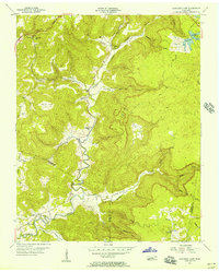
1956 Map of Monterey Lake
USGS Topo · Published 1957About this map
The Calfkiller River carves a deep path through this portion of the Cumberland Plateau, where the rugged topography of the Tennessee hill country is defined by numerous isolated coves and hollows. In the mid-1950s, this landscape supported a network of rural communities such as Taylors and Board Valley, where life centered around local landmarks like the Big Spring Ch and several small schools.
Find a feature on this map
40 named features on this map. Tap any name to fly to it.
Don’t see what you’re looking for? This feature index may not catch every label — zoom into the map to look around manually.
Map Details
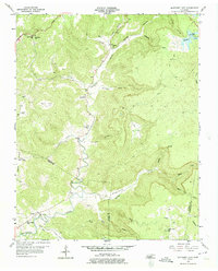
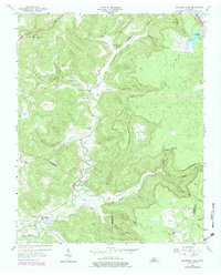
Editions of this 1956 Monterey Lake Map
3 editions found
Other maps of this area

1892 · Pikeville
USGS Topo · 1:125,000

1895 · Pikeville
USGS Topo · 1:125,000

1897 · Standingstone
USGS Topo · 1:125,000

1898 · Standingstone
USGS Topo · 1:125,000

1912 · Crossville
USGS Topo · 1:62,500

1935 · Campbell Junction
USGS Topo · 1:24,000

1943 · Cookeville
USGS Topo · 1:100,000

1944 · Cookeville
USGS Topo · 1:100,000

1946 · Campbell Junction
USGS Topo · 1:24,000

1946 · Obey City
USGS Topo · 1:24,000