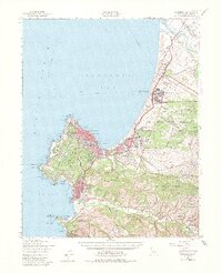
1947 Map of Monterey
USGS Topo · Published 1981About this map
Fort Ord dominates the northern coast of this 1947 survey, representing a significant military footprint alongside the Presidio of Monterey. The landscape reflects the transition from historic Spanish land grants like Bolsa del Potrero y Moro Cojo and Aguajito to the mid-century development of Seaside, Del Monte Heights, and Marina. Along the rugged coastline of the Monterey Peninsula, the map meticulously charts landmarks from Point Pinos to the Point Lobos State Park, revealing the layout of Pacific Grove and Carmel-by-the-Sea just after the war. In the southern interior, the Carmel River winds through ranch lands and canyons named for early settlers, such as the James Meadows and Canada de la Segunda tracts. Cultural heritage is anchored by the Mission San Carlos Borromeo and the Carmelite Mission, while the Southern Pacific railroad provides a critical link through Neponset and Lapis Siding.
Find a feature on this map
95 named features on this map. Tap any name to fly to it.
Don’t see what you’re looking for? This feature index may not catch every label — zoom into the map to look around manually.
Map Details
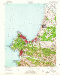
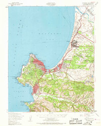
Editions of this 1947 Monterey Map
4 editions found

Other maps of this area

1910 · Salinas
USGS Topo · 1:31,680

1912 · Salinas
USGS Topo · 1:62,500

1912 · Capitola
USGS Topo · 1:62,500

1913 · Monterey
USGS Topo · 1:62,500

1914 · Capitola
USGS Topo · 1:62,500

1915 · San Juan Bautista
USGS Topo · 1:48,000

1917 · San Juan Bautista
USGS Topo · 1:62,500

1918 · Point Sur
USGS Topo · 1:62,500

1920 · Jamesburg
USGS Topo · 1:48,000

1921 · Jamesburg
USGS Topo · 1:62,500