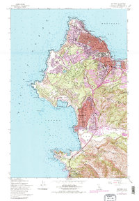
1947 Map of Monterey
USGS Topo · Published 1984About this map
The Monterey coastline and its surrounding settlements are depicted here as they appeared just after the war, showing a region defined by its religious history and maritime character. The historic Carmel Mission and Royal Presidio Chapel anchor the southern and northern ends of the map respectively, while the Southern Pacific railroad line reaches into the heart of the city near the harbor. The landscape transitions from the urban grid of New Monterey and Pacific Grove to the protected wildness of the Point Lobos State Reserve at the south edge of Carmel Bay. This survey captures the mid-century layout of the famous Seventeen Mile Drive as it winds past landmarks like Cypress Point and Pescadero Point. From the Hopkins Marine Laboratory at Point Cabrillo to the Mission Ranch near the Carmel River, the map documents a mix of scientific, agricultural, and residential expansion.
Find a feature on this map
73 named features on this map. Tap any name to fly to it.
Don’t see what you’re looking for? This feature index may not catch every label — zoom into the map to look around manually.
Map Details
Editions of this 1947 Monterey Map
5 editions found
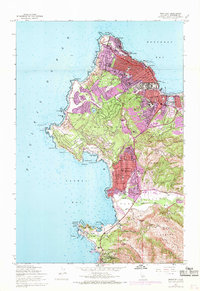
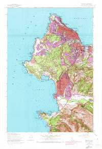
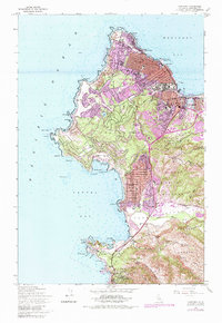
Other maps of this area

1913 · Monterey
USGS Topo · 1:62,500

1918 · Point Sur
USGS Topo · 1:62,500

1925 · Point Sur
USGS Topo · 1:62,500

1941 · Monterey
USGS Topo · 1:62,500

1947 · Point Sur
USGS Topo · 1:62,500

1947 · Seaside
USGS Topo · 1:24,000

1947 · Monterey
USGS Topo · 1:62,500
1947 · Marina
USGS Topo · 1:24,000

1947 · Monterey
USGS Topo · 1:24,000

1948 · Santa Cruz
USGS Topo · 1:250,000