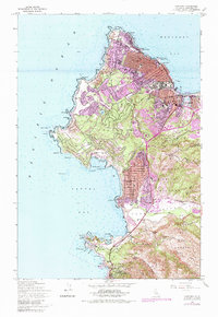
1947 Map of Monterey
USGS Topo · Published 1983About this map
Monterey and the surrounding coastline serve as the centerpiece of this 1947 survey, which captures the region's mid-century transition from a historic mission and military outpost to a renowned residential and recreational destination. The peninsula is defined by the winding Seventeen Mile Drive, tracing a shoreline of jagged points like Point Joe and Cypress Point. Urban development is concentrated in the grids of Pacific Grove and New Monterey, while the Presidio of Monterey maintains its strategic position overlooking the bay.
Find a feature on this map
71 named features on this map. Tap any name to fly to it.
Don’t see what you’re looking for? This feature index may not catch every label — zoom into the map to look around manually.
Map Details
Editions of this 1947 Monterey Map
5 editions found
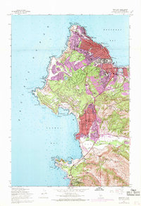
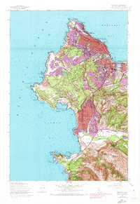
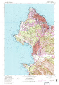
Other maps of this area

1913 · Monterey
USGS Topo · 1:62,500

1918 · Point Sur
USGS Topo · 1:62,500

1925 · Point Sur
USGS Topo · 1:62,500

1941 · Monterey
USGS Topo · 1:62,500

1947 · Point Sur
USGS Topo · 1:62,500

1947 · Seaside
USGS Topo · 1:24,000

1947 · Monterey
USGS Topo · 1:62,500
1947 · Marina
USGS Topo · 1:24,000

1947 · Monterey
USGS Topo · 1:24,000

1948 · Santa Cruz
USGS Topo · 1:250,000