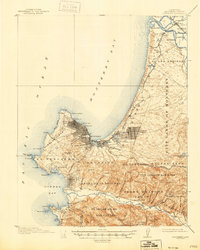
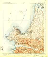
1913 Map of Monterey
USGS Topo · Published 1946About this map
Carmel Mission stands as a focal point near the mouth of the Carmel River, anchoring a landscape defined by its Spanish land grant heritage. This 1912 survey, reprinted in 1946, meticulously details the transition from traditional ranchos like El Pescadero and Aguajito into early twentieth-century coastal developments. The intricate network of Seventeen Mile Drive winds through the Punta de Pinos peninsula, connecting the growing community at Pacific Grove with the legendary resort areas of Pebble Beach and Carmel by the Sea.
Find a feature on this map
75 named features on this map. Tap any name to fly to it.
Don’t see what you’re looking for? This feature index may not catch every label — zoom into the map to look around manually.
Map Details
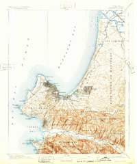
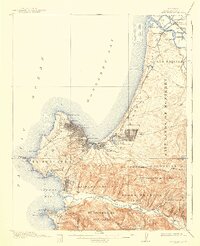
Editions of this 1913 Monterey Map
8 editions found
Other maps of this area

1910 · Salinas
USGS Topo · 1:31,680

1912 · Salinas
USGS Topo · 1:62,500

1912 · Capitola
USGS Topo · 1:62,500

1913 · Monterey
USGS Topo · 1:62,500

1914 · Capitola
USGS Topo · 1:62,500

1915 · San Juan Bautista
USGS Topo · 1:48,000

1917 · San Juan Bautista
USGS Topo · 1:62,500

1918 · Point Sur
USGS Topo · 1:62,500

1920 · Jamesburg
USGS Topo · 1:48,000

1921 · Jamesburg
USGS Topo · 1:62,500