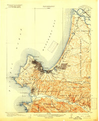
1913 Map of Monterey
USGS Topo · Published 1918About this map
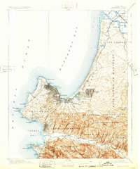
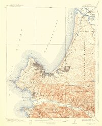
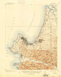
Monterey and its neighboring coastal settlements are captured here during a period of significant early development, characterized by the intersection of military presence and burgeoning tourism. The Presidio Military Res overlooks the harbor, while the scenic Seventeen Mile Drive traces the rugged coastline past Pebble Beach and Punta de Pinos. This survey illustrates the transition from the old Spanish land grants like El Pescadero and Aguajito to modern civic layouts.
Find a feature on this map
76 named features on this map. Tap any name to fly to it.
Don’t see what you’re looking for? This feature index may not catch every label — zoom into the map to look around manually.
Map Details
Editions of this 1913 Monterey Map
8 editions found
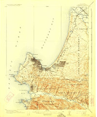
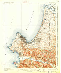
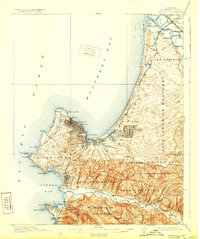
Other maps of this area

1910 · Salinas
USGS Topo · 1:31,680

1912 · Salinas
USGS Topo · 1:62,500

1912 · Capitola
USGS Topo · 1:62,500

1913 · Monterey
USGS Topo · 1:62,500

1914 · Capitola
USGS Topo · 1:62,500

1915 · San Juan Bautista
USGS Topo · 1:48,000

1917 · San Juan Bautista
USGS Topo · 1:62,500

1918 · Point Sur
USGS Topo · 1:62,500

1920 · Jamesburg
USGS Topo · 1:48,000

1921 · Jamesburg
USGS Topo · 1:62,500