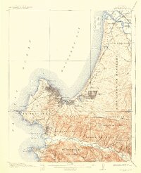
1913 Map of Monterey
USGS Topo · Published 1940About this map
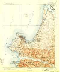
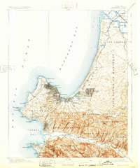
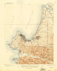
Carmel Mission and the Presidio Military Res anchor this coastal landscape, revealing the deep institutional and spiritual history of the Monterey Peninsula just before World War I. The street grids of Monterey, Pacific Grove, and Seaside are already well-established, while the luxury tourism of the era is evident at the sprawling Hotel Del Monte and along the winding coastal route of Seventeen Mile Drive.
Find a feature on this map
73 named features on this map. Tap any name to fly to it.
Don’t see what you’re looking for? This feature index may not catch every label — zoom into the map to look around manually.
Map Details
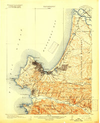
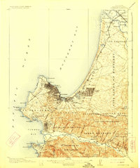
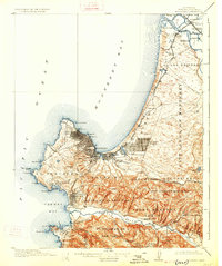
Editions of this 1913 Monterey Map
8 editions found
Other maps of this area

1910 · Salinas
USGS Topo · 1:31,680

1912 · Salinas
USGS Topo · 1:62,500

1912 · Capitola
USGS Topo · 1:62,500

1913 · Monterey
USGS Topo · 1:62,500

1914 · Capitola
USGS Topo · 1:62,500

1915 · San Juan Bautista
USGS Topo · 1:48,000

1917 · San Juan Bautista
USGS Topo · 1:62,500

1918 · Point Sur
USGS Topo · 1:62,500

1920 · Jamesburg
USGS Topo · 1:48,000

1921 · Jamesburg
USGS Topo · 1:62,500