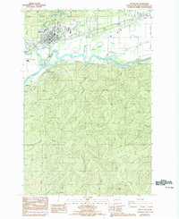
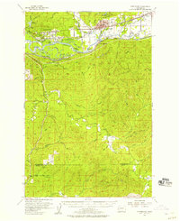
1986 Map of Montesano
USGS Topo · Published 1993About this map
Montesano serves as the primary hub of activity on this survey, situated at the meeting point of the Wynoochee River and the winding Chehalis River. The landscape transitions from the urban grid of the town, through the industrial riverfront area near South Montesano, to the dense network of tributaries and timberland to the south. Lake Sylvia State Park and its Sylvia Lake highlight the recreational character of the northern hills, while the surrounding lowlands are marked by water features like Metcalf Slough and Moon Slough.
Find a feature on this map
34 named features on this map. Tap any name to fly to it.
Don’t see what you’re looking for? This feature index may not catch every label — zoom into the map to look around manually.
Map Details
Editions of this 1986 Montesano Map
This is the sole edition of this map. No revisions or reprints were ever made.
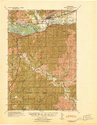
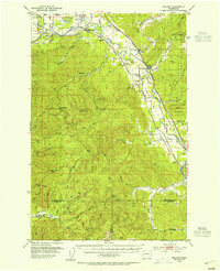
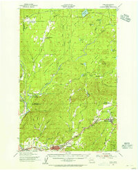
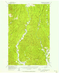
Other maps of this area
1940 · Montesano
USGS Topo · 1:62,500

1941 · Mobray
USGS Topo · 1:62,500

1941 · Ford
USGS Topo · 1:62,500

1943 · Nahwatzel Lake
USGS Topo · 1:62,500

1943 · Mobray
USGS Topo · 1:62,500

1953 · Hoquiam
USGS Topo · 1:250,000
1953 · Malone
USGS Topo · 1:62,500
1953 · Elma
USGS Topo · 1:62,500
1955 · Montesano
USGS Topo · 1:62,500
1955 · Wynoochee Valley
USGS Topo · 1:62,500