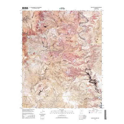
2017 Map of Montesito Creek
USGS Topo · Published 2017About this map
Montesito Creek carves a winding path through this high plains landscape on the border of Harding and Quay counties. The terrain is defined by its critical water sources, including numerous named tanks and springs such as Alamosa Spring and Vigil Spring, which supported the region's ranching economy. In the southeastern corner, the landscape opens into the northern reaches of the Ute Reservoir, a significant modern waterway that contrasts with the seasonal drainage of Romero Draw. For local historians, the presence of the Alamosa Cem and Vigil Cem provides clear markers of the families who settled this area. These small burial grounds, along with family-named features like Tobias Spring and Molina Spring, serve as tangible links to the early homesteading and livestock heritage of this part of New Mexico.
Find a feature on this map
28 named features on this map. Tap any name to fly to it.
Don’t see what you’re looking for? This feature index may not catch every label — zoom into the map to look around manually.
Map Details
Editions of this 2017 Montesito Creek Map
This is the sole edition of this map. No revisions or reprints were ever made.
Other maps of this area

1930 · Tucumcari
USGS Topo · 1:125,000

1954 · Tucumcari
USGS Topo · 1:250,000

1958 · Tucumcari
USGS Topo · 1:250,000

1962 · Logan
USGS Topo · 1:62,500

1966 · Mc Carty Ranch
USGS Topo · 1:24,000

1968 · Bascom Camp
USGS Topo · 1:24,000

1968 · Hampton Ranch
USGS Topo · 1:24,000

1968 · Hudson
USGS Topo · 1:24,000

1968 · Montesito Creek
USGS Topo · 1:24,000

1969 · Gallegos
USGS Topo · 1:24,000