
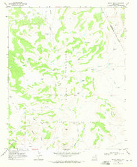
1968 Map of Hampton Ranch
USGS Topo · Published 1971About this map
The arid high plains at the intersection of San Miguel, Harding, and Quay Counties define this landscape during the late 1960s. The topography is dominated by the broad expanse of Baca Location No 2, a significant Mexican land grant tract that dictates the region's sparse settlement pattern. Water management is the primary marker of human activity across these ranchlands, evidenced by an extensive network of named infrastructure including the Oscar Pool Windmill, Weeks Windmill, and Sinkhole Trap Windmill.
Find a feature on this map
31 named features on this map. Tap any name to fly to it.
Don’t see what you’re looking for? This feature index may not catch every label — zoom into the map to look around manually.
Map Details
Editions of this 1968 Hampton Ranch Map
This is the sole edition of this map. No revisions or reprints were ever made.
Other maps of this area

1930 · Tucumcari
USGS Topo · 1:125,000

1954 · Tucumcari
USGS Topo · 1:250,000

1958 · Tucumcari
USGS Topo · 1:250,000

1967 · Trinchera Creek
USGS Topo · 1:24,000

1968 · Bascom Camp
USGS Topo · 1:24,000

1968 · Hudson
USGS Topo · 1:24,000

1968 · Montesito Creek
USGS Topo · 1:24,000
1968 · Medina Mesa
USGS Topo · 1:24,000

1969 · Gallegos
USGS Topo · 1:24,000
1969 · Alamosa Canyon
USGS Topo · 1:24,000