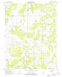
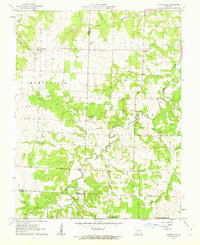
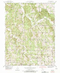
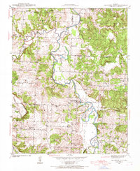
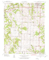
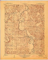
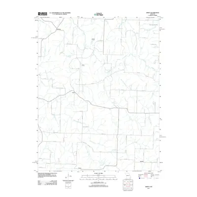
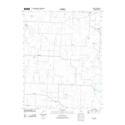
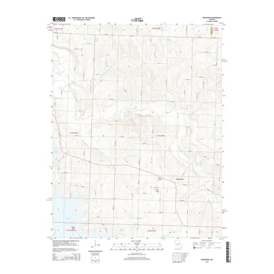
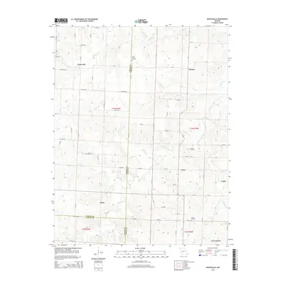
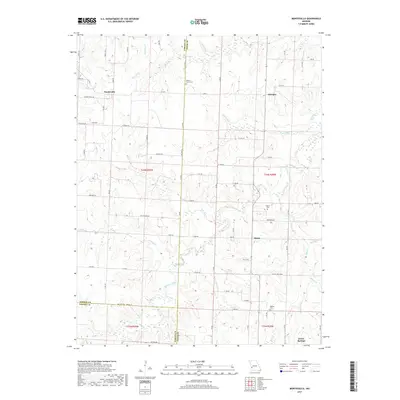
1962 Map of Montevallo
USGS Topo · Published 1977About this map
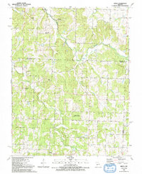
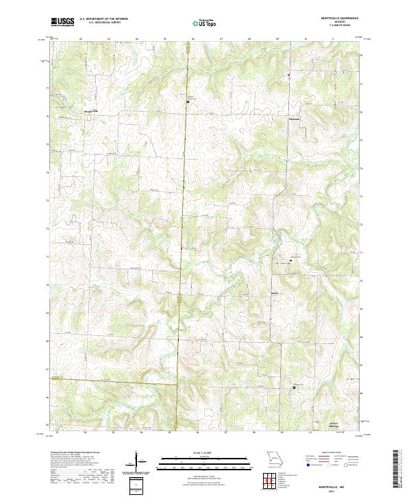
Montevallo and Olympia anchor this agricultural landscape at the tri-county border of Vernon, Cedar, and Barton. The area is defined by a dense network of winding watercourses, including Stinking Creek, Horse Creek, and Bear Creek, which carve through the terrain and create the irregular boundaries for Benton and Montevallo townships. Local landmarks such as Glade Springs Ch and several family or community burial grounds, including Walnut Grove Cem and Oldham Cem, offer significant points of interest for genealogical research. The presence of a Quarry south of Wilkey Creek suggests localized extractive industry amidst the predominant farm and timber tracts. Surveyed in the early 1960s, the map provides a clear view of the rural road network and dispersed homesteads before later developments, reflecting the mid-century character of these Missouri townships.
Find a feature on this map
26 named features on this map. Tap any name to fly to it.
Don’t see what you’re looking for? This feature index may not catch every label — zoom into the map to look around manually.
Map Details
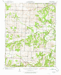
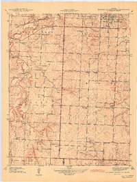
Editions of this 1962 Montevallo Map
2 editions found
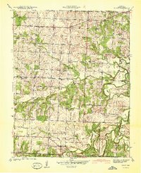
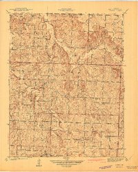
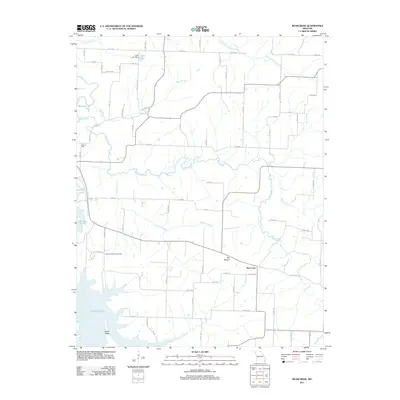
Historical Maps of Montevallo Through Time
43 maps found
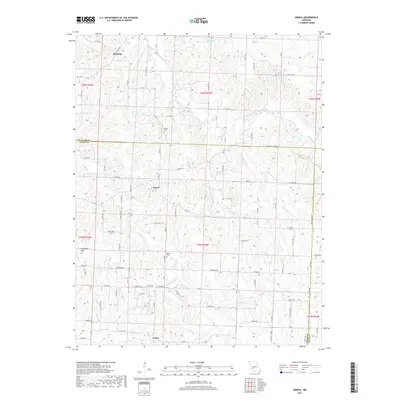
1939 Arnica
Cedar County, MO
1939 Caplinger Mills
Cedar County, MO
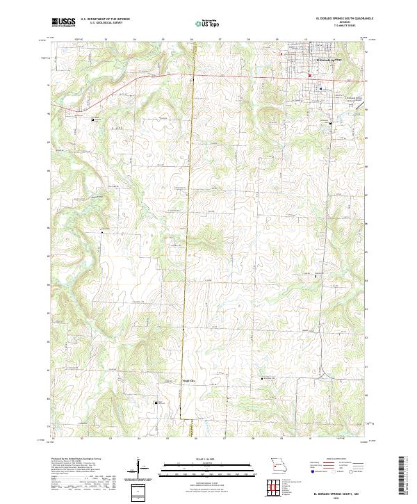
1939 Eldorado Springs South
Cedar County, MO
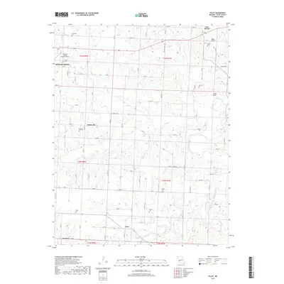
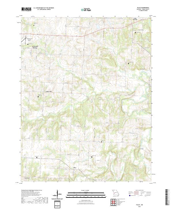
1939 Filley
Cedar County, MO
1940 Filley
Cedar County, MO
1941 Arnica
Cedar County, MO
1941 Caplinger Mills
Cedar County, MO
1942 Eldorado Springs South
Cedar County, MO
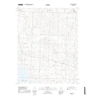
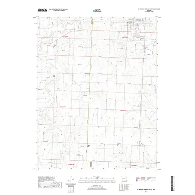
1956 Bearcreek
Cedar County, MO
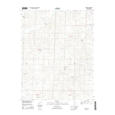
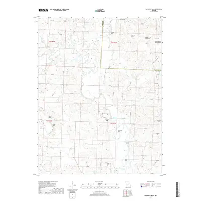
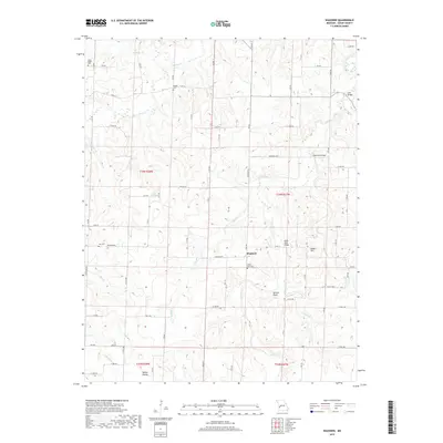
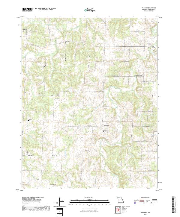
1956 Wagoner
Cedar County, MO
1962 Montevallo
Cedar County, MO
1991 Arnica
Cedar County, MO
1991 Caplinger Mills
Cedar County, MO
1991 El Dorado Springs South
Cedar County, MO
1991 Filley
Cedar County, MO
2011 Arnica
Cedar County, MO
2011 Bearcreek
Cedar County, MO
2011 Caplinger Mills
Cedar County, MO
2011 El Dorado Springs South
Cedar County, MO
2011 Filley
Cedar County, MO
2011 Montevallo
Cedar County, MO
2011 Wagoner
Cedar County, MO
2015 Arnica
Cedar County, MO
2015 Bearcreek
Cedar County, MO
2015 Caplinger Mills
Cedar County, MO
2015 El Dorado Springs South
Cedar County, MO
2015 Filley
Cedar County, MO
2015 Montevallo
Cedar County, MO
2015 Wagoner
Cedar County, MO
2017 Arnica
Cedar County, MO
2017 Bearcreek
Cedar County, MO
2017 Caplinger Mills
Cedar County, MO
2017 El Dorado Springs South
Cedar County, MO
2017 Filley
Cedar County, MO
2017 Montevallo
Cedar County, MO
2017 Wagoner
Cedar County, MO
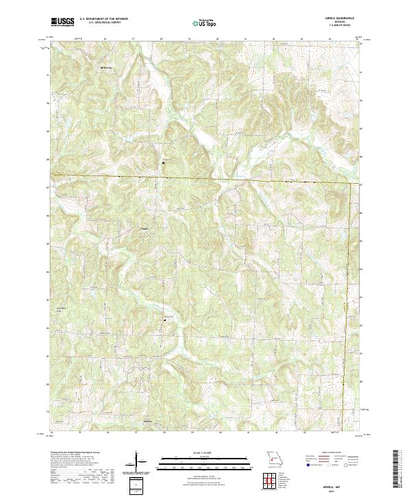
2021 Arnica
Cedar County, MO
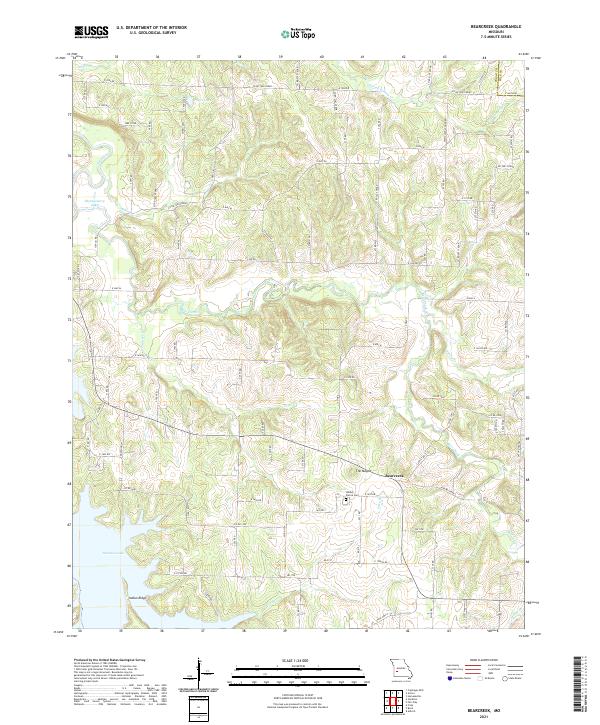
2021 Bearcreek
Cedar County, MO
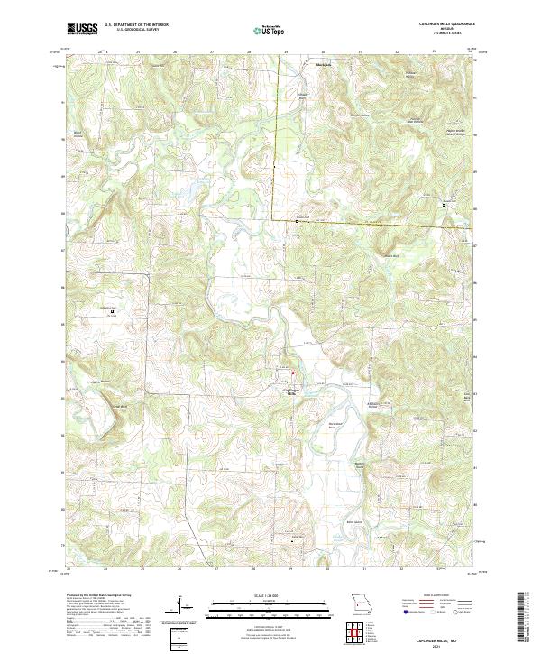
2021 Caplinger Mills
Cedar County, MO
2021 El Dorado Springs South
Cedar County, MO
2021 Filley
Cedar County, MO
2021 Montevallo
Cedar County, MO
2021 Wagoner
Cedar County, MO