Loading...
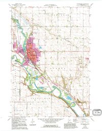
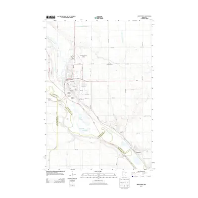
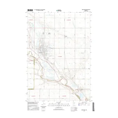
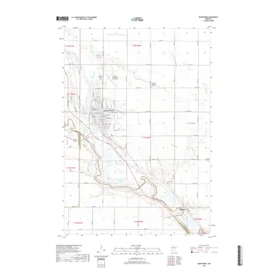
Loading map...1965 Map of Montevideo
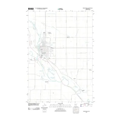
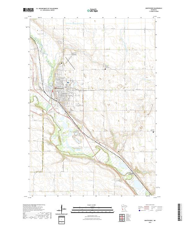
USGS Topo · Published 1995About this map
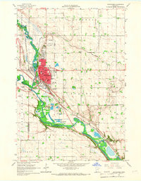
The confluence of the Minnesota River and the Chippewa River anchors this mid-century survey of western Minnesota. The city of Montevideo sits at the heart of the landscape, showing its mid-century civic infrastructure including the Courthouse, Hospital, and several local schools such as Ramsey Sch and Sibley Sch. The purple revision layers provide a comparative look at late 20th-century urban expansion, particularly around the Montevideo Airport and southern residential areas.
Find a feature on this map
52 named features on this map. Tap any name to fly to it.
Don’t see what you’re looking for? This feature index may not catch every label — zoom into the map to look around manually.
Map Details
Date Portrayed1965
Date Published1995
PublisherU.S. Geological Survey
Map TypeTopographic
Scale1:24,000
Physical Dimensions21.53 x 27.23 inches
Editions of this 1965 Montevideo Map
2 editions found
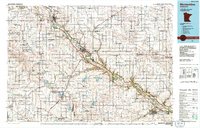
Historical Maps of Montevideo Through Time
7 maps found
Featured Locations
Source Details
SourceU.S. Geological Survey
CopyrightPublic Domain