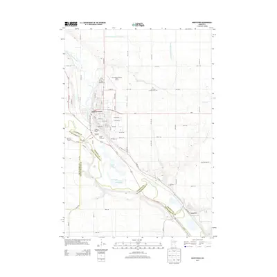
2013 Map of Montevideo
USGS Topo · Published 2013About this map
Montevideo sits at the confluence of the Chippewa River and the Minnesota River, a geographic focal point in Western Minnesota where Chippewa, Lac qui Parle, and Yellow Medicine counties meet. The landscape is characterized by a mix of municipal development and agricultural drainage systems like County Ditch Number Sixtyseven and County Ditch Number Fiftynine. The town's historical and recreational identity is centered around features like the Chippewa City Pioneer Village, located near the Chippewa County Fairgrounds and the Fiesta City Speedway.
Find a feature on this map
72 named features on this map. Tap any name to fly to it.
Don’t see what you’re looking for? This feature index may not catch every label — zoom into the map to look around manually.
Map Details
Editions of this 2013 Montevideo Map
This is the sole edition of this map. No revisions or reprints were ever made.
Other maps of this area

1953 · New Ulm
USGS Topo · 1:250,000

1953 · Saint Cloud
USGS Topo · 1:250,000

1957 · Saint Cloud
USGS Topo · 1:250,000

1957 · New Ulm
USGS Topo · 1:250,000

1958 · New Ulm
USGS Topo · 1:250,000

1958 · Saint Cloud
USGS Topo · 1:250,000

1958 · Watson
USGS Topo · 1:24,000

1958 · Gracelock
USGS Topo · 1:24,000

1958 · Gracelock SW
USGS Topo · 1:24,000

1965 · Montevideo
USGS Topo · 1:24,000