Loading...
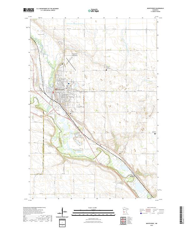
Loading map...2022 Map of Montevideo
USGS Topo · Published 2022About this map
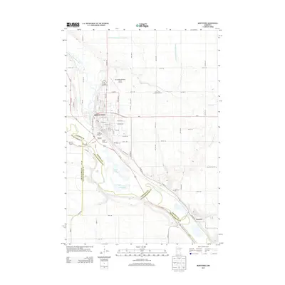
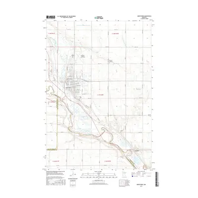
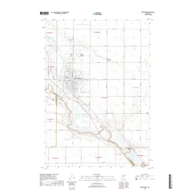
The Chippewa River flows southward through this western Minnesota landscape to meet the Minnesota River near the town of Wegdahl. At this confluence, the city of Montevideo serves as the regional hub, housing the Chippewa County Courthouse and the Montevideo-Chippewa County Airport. The terrain is marked by a complex system of agricultural drainage, such as County Ditch Number Sixtyseven, and notable water bodies like Carlton Lake and Round Slough.
Find a feature on this map
61 named features on this map. Tap any name to fly to it.
Don’t see what you’re looking for? This feature index may not catch every label — zoom into the map to look around manually.
Map Details
Date Portrayed2022
Date Published2022
PublisherU.S. Geological Survey
Map TypeTopographic
Scale1:24,000
Physical Dimensions24 x 29 inches
Editions of this 2022 Montevideo Map
This is the sole edition of this map. No revisions or reprints were ever made.
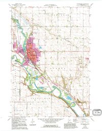
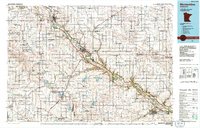
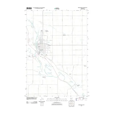
Historical Maps of Montevideo Through Time
7 maps found
Featured Locations
Source Details
SourceU.S. Geological Survey
CopyrightPublic Domain