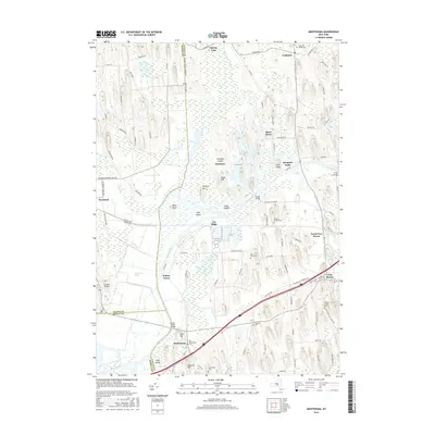
2016 Map of Montezuma
USGS Topo · Published 2016About this map
Montezuma Marsh dominates this landscape where the borders of Cayuga, Wayne, and Seneca counties converge. The modern geography is defined by the heavy presence of the Erie Canal and the winding Seneca River, which snake through a network of drumlins and lowland wetlands. For those tracing local history, the map documents several small burial grounds, including the Old Montezuma Cem and Old Port Byron Cem, which serve as quiet markers of early settlement patterns. Higher ground like Emerson Hill and Clark Hill rises above the waterlogged basin, while named islands such as Howland Island and Hog Island are surrounded by the diverse hydrography of the Spring Lake Outlet and Crusoe Ck. Transport routes follow the ancient corridors of the Tow Path Rd, mirroring the legacy of the old canal system near Montezuma and Port Byron.
Find a feature on this map
105 named features on this map. Tap any name to fly to it.
Don’t see what you’re looking for? This feature index may not catch every label — zoom into the map to look around manually.
Map Details
Editions of this 2016 Montezuma Map
This is the sole edition of this map. No revisions or reprints were ever made.
Other maps of this area

1899 · Auburn
USGS Topo · 1:62,500

1902 · Geneva
USGS Topo · 1:62,500

1902 · Clyde
USGS Topo · 1:62,500

1902 · Weedsport
USGS Topo · 1:62,500

1902 · Auburn
USGS Topo · 1:62,500

1943 · Montezuma
USGS Topo · 1:31,680

1943 · Cayuga
USGS Topo · 1:31,680

1943 · Cato
USGS Topo · 1:31,680

1943 · Savannah
USGS Topo · 1:31,680

1943 · Weedsport
USGS Topo · 1:31,680