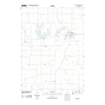
2010 Map of Montezuma
USGS Topo · Published 2010About this map
The county seat of Montezuma serves as the focal point for this survey of rural Poweshiek County, where the street grid hosts the Montezuma Post Office and borders the Masonic IOOF Cemetery. The surrounding landscape is defined by the winding course of Moon Creek and the recreational waters of Lake Ponderosa and Diamond Lake, the latter featuring the Diamond Lake Campground.
Find a feature on this map
40 named features on this map. Tap any name to fly to it.
Don’t see what you’re looking for? This feature index may not catch every label — zoom into the map to look around manually.
Map Details
Editions of this 2010 Montezuma Map
This is the sole edition of this map. No revisions or reprints were ever made.
Other maps of this area

1954 · Des Moines
USGS Topo · 1:250,000

1956 · Des Moines
USGS Topo · 1:250,000

1957 · Des Moines
USGS Topo · 1:250,000

1965 · Gibson
USGS Topo · 1:24,000

1968 · Brooklyn
USGS Topo · 1:24,000

1968 · Barnes City
USGS Topo · 1:24,000

1969 · Des Moines
USGS Topo · 1:250,000

1979 · Montezuma
USGS Topo · 1:24,000

1979 · Searsboro
USGS Topo · 1:24,000

1979 · Grinnell South
USGS Topo · 1:24,000