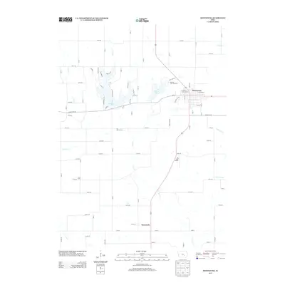
2013 Map of Montezuma
USGS Topo · Published 2013About this map
Montezuma serves as the primary hub of this eastern Iowa landscape, situated at the intersection of a grid of agricultural section roads and the winding paths of the local waterways. The town's layout is mirrored by the development around Lake Ponderosa, where a dense network of residential streets like Whippoorwill Rd and Falcon Dr hugs the irregular shoreline. Further south, the rural character is punctuated by the small settlement of Brownsville and the Sig Field Airport, while the legacy of the timber and agricultural economy is hinted at by routes such as Sawmill Rd. Recreational spaces are prominent in the northern half of the quadrangle, including the Diamond Lake Campground and the Fun Valley Ski Area. The hydrology is defined by the headwaters of the S English River and Deep River, alongside several creeks like Moon Cr that carve through the prairie terrain.
Find a feature on this map
73 named features on this map. Tap any name to fly to it.
Don’t see what you’re looking for? This feature index may not catch every label — zoom into the map to look around manually.
Map Details
Editions of this 2013 Montezuma Map
This is the sole edition of this map. No revisions or reprints were ever made.
Other maps of this area

1954 · Des Moines
USGS Topo · 1:250,000

1956 · Des Moines
USGS Topo · 1:250,000

1957 · Des Moines
USGS Topo · 1:250,000

1965 · Gibson
USGS Topo · 1:24,000

1968 · Brooklyn
USGS Topo · 1:24,000

1968 · Barnes City
USGS Topo · 1:24,000

1969 · Des Moines
USGS Topo · 1:250,000

1979 · Montezuma
USGS Topo · 1:24,000

1979 · Searsboro
USGS Topo · 1:24,000

1979 · Grinnell South
USGS Topo · 1:24,000