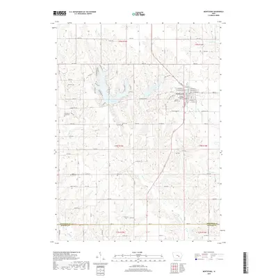
2018 Map of Montezuma
USGS Topo · Published 2018About this map
Montezuma sits as the central hub of this eastern Iowa landscape, where the town’s grid meets a network of country roads and local waterways. The area is defined by its transition from the structured residential blocks of the town center to the sprawling agricultural tracts of the surrounding townships. Water dominates the western and northern reaches, particularly at Lake Ponderosa and Diamond Lake, which create distinct recreational and residential pockets amid the rolling terrain.
Find a feature on this map
97 named features on this map. Tap any name to fly to it.
Don’t see what you’re looking for? This feature index may not catch every label — zoom into the map to look around manually.
Map Details
Editions of this 2018 Montezuma Map
This is the sole edition of this map. No revisions or reprints were ever made.
Other maps of this area

1954 · Des Moines
USGS Topo · 1:250,000

1956 · Des Moines
USGS Topo · 1:250,000

1957 · Des Moines
USGS Topo · 1:250,000

1965 · Gibson
USGS Topo · 1:24,000

1968 · Brooklyn
USGS Topo · 1:24,000

1968 · Barnes City
USGS Topo · 1:24,000

1969 · Des Moines
USGS Topo · 1:250,000

1979 · Montezuma
USGS Topo · 1:24,000

1979 · Searsboro
USGS Topo · 1:24,000

1979 · Grinnell South
USGS Topo · 1:24,000