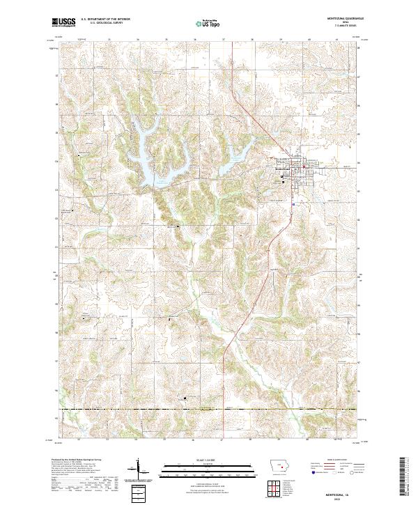
2022 Map of Montezuma
USGS Topo · Published 2022About this map
Montezuma serves as the focal point of this landscape, with the Poweshiek County Courthouse anchored at the town center. The settlement is defined by its traditional grid, with streets like E Main St and W Jefferson St radiating from the courthouse square. To the west, the winding shores of Lake Ponderosa and the waters of Diamond Lake provide a sharp contrast to the surrounding section-line roads and agricultural tracts.
Find a feature on this map
65 named features on this map. Tap any name to fly to it.
Don’t see what you’re looking for? This feature index may not catch every label — zoom into the map to look around manually.
Map Details
Editions of this 2022 Montezuma Map
This is the sole edition of this map. No revisions or reprints were ever made.
Other maps of this area

1954 · Des Moines
USGS Topo · 1:250,000

1956 · Des Moines
USGS Topo · 1:250,000

1957 · Des Moines
USGS Topo · 1:250,000

1965 · Gibson
USGS Topo · 1:24,000

1968 · Brooklyn
USGS Topo · 1:24,000

1968 · Barnes City
USGS Topo · 1:24,000

1969 · Des Moines
USGS Topo · 1:250,000

1979 · Montezuma
USGS Topo · 1:24,000

1979 · Searsboro
USGS Topo · 1:24,000

1979 · Grinnell South
USGS Topo · 1:24,000