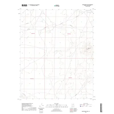
2018 Map of Montezumas Chair
USGS Topo · Published 2018About this map
Montezumas Chair rises above the arid plateau of the Navajo Nation, serving as the dominant topographic landmark on this high-desert landscape. The area is defined by a series of intermittent watercourses, including the broad Jeddito Wash which carves through the western sections of the quadrangle, and the smaller Fees Toh Wash to the northeast. A sparse but critical network of tribal routes, such as Indian Rte 9901 and Indian Rte 9844, provides the primary infrastructure through these remote lands. Near the northeastern boundary, the presence of Honey Spring suggests a vital water source in an otherwise dry environment. The mapping reveals a land shaped by erosion and elevation, where traditional travel ways follow the natural contours of the mesas and washes.
Find a feature on this map
13 named features on this map. Tap any name to fly to it.
Don’t see what you’re looking for? This feature index may not catch every label — zoom into the map to look around manually.
Map Details
Editions of this 2018 Montezumas Chair Map
This is the sole edition of this map. No revisions or reprints were ever made.
Other maps of this area

1883 · Tusayan
USGS Topo · 1:250,000

1886 · Tusayan
USGS Topo · 1:250,000

1947 · Flagstaff
USGS Topo · 1:250,000

1954 · Flagstaff
USGS Topo · 1:250,000

1957 · Winslow 1 SW
USGS Topo · 1:24,000

1958 · Flagstaff
USGS Topo · 1:250,000

1960 · Flagstaff
USGS Topo · 1:250,000

1962 · Flagstaff
USGS Topo · 1:250,000

1966 · Egloffstein Butte
USGS Topo · 1:62,500

1966 · Tovar Mesa
USGS Topo · 1:62,500