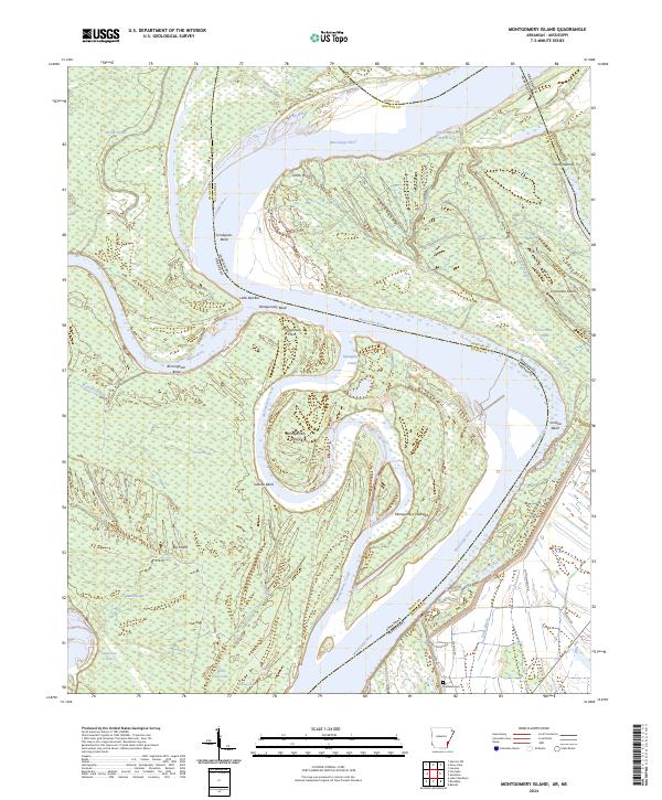
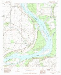
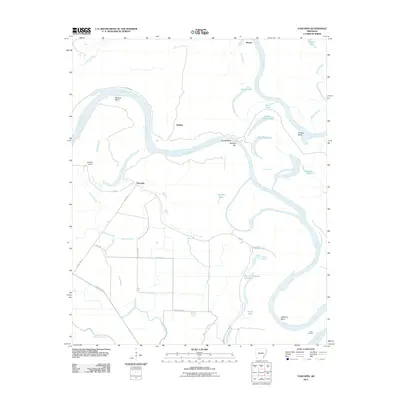
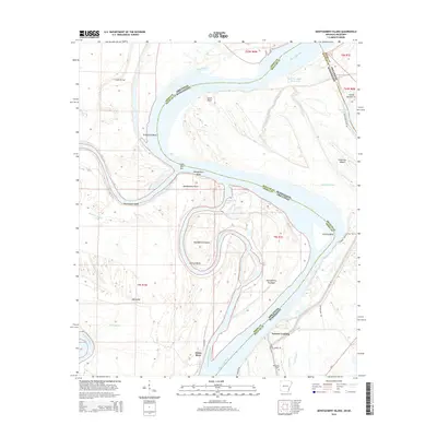
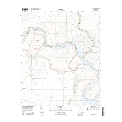
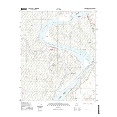
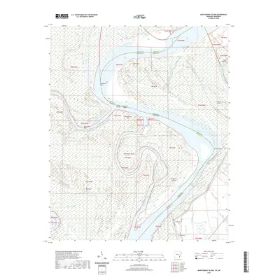
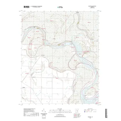
2024 Map of Montgomery Island
USGS Topo · Published 2024About this map
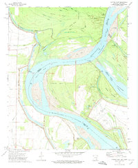
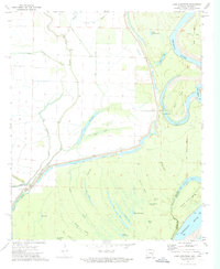
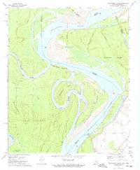
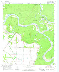
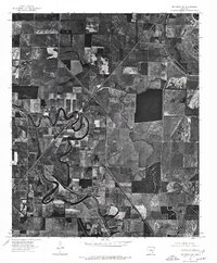
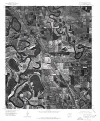
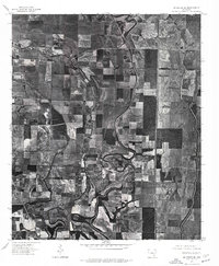
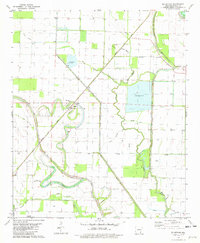
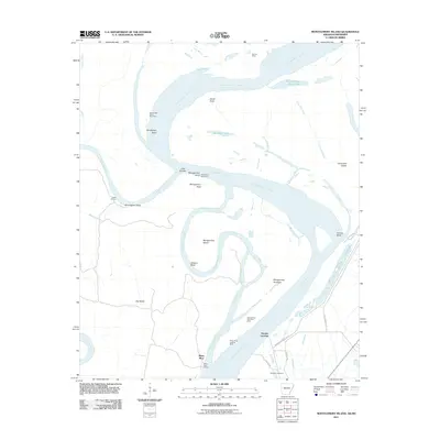
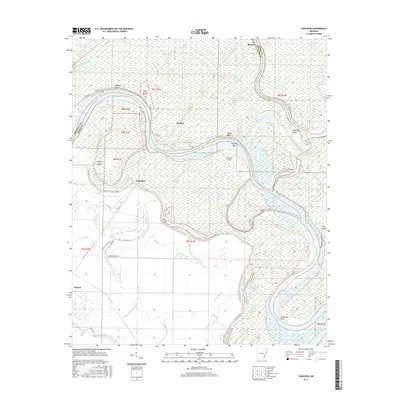
The Mississippi River creates a complex borderland between Arkansas and Mississippi, defining the dynamic geography of this riverine corridor. Large landmasses like Montgomery Island and Big Island are shaped by the shifting currents and historical engineering, including the prominent Montgomery Cutoff. The landscape is saturated with smaller water bodies such as Coono Brake, Mud Slough, and the descriptively named Old Tar Paper Shack Lake. Human presence is marked by infrastructure tied to the river's edge, including Terrene Landing Rd and the Victoria Hunting Club Rd. Along the southern margin, the Rosedale Cem stands near the river, while the surrounding terrain is a network of bayous and chutes like Sixmile Bayou and Concordia Chute, reflecting the area's history of flooding and sediment deposit.
Find a feature on this map
45 named features on this map. Tap any name to fly to it.
Don’t see what you’re looking for? This feature index may not catch every label — zoom into the map to look around manually.
Map Details
Editions of this 2024 Montgomery Island Map
This is the sole edition of this map. No revisions or reprints were ever made.
Historical Maps of Terrene Landing Through Time
54 maps found
1935 Red Fork
Desha County, AR
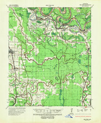
1939 Big Island
Desha County, AR
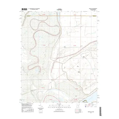
1967 Snow Lake
Desha County, AR

1969 Kelso
Desha County, AR
1972 Catfish Point
Desha County, AR
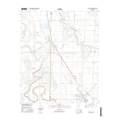
1972 Lake Cheatham
Desha County, AR
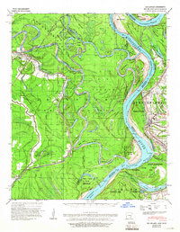
1972 Montgomery Island
Desha County, AR
1972 Yancopin
Desha County, AR
1975 Mc Gehee NE
Desha County, AR
1975 Mc Gehee NW
Desha County, AR
1975 Mc Gehee SE
Desha County, AR
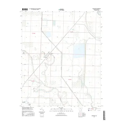
1981 Mc Arthur
Desha County, AR

1981 Mc Gehee North
Desha County, AR
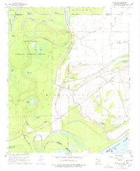
1982 Laconia
Desha County, AR
2011 Kelso
Desha County, AR
2011 Laconia
Desha County, AR
2011 Lake Cheatham
Desha County, AR
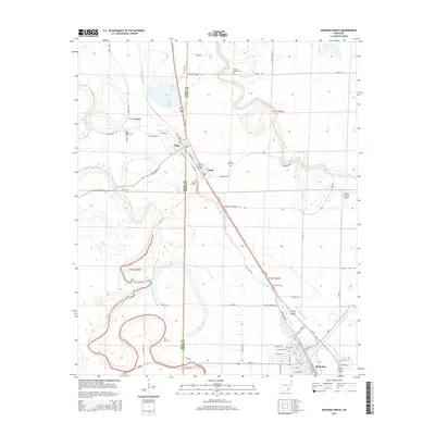
2011 McArthur
Desha County, AR
2011 McGehee North
Desha County, AR
2011 Montgomery Island
Desha County, AR
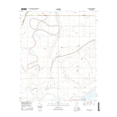
2011 Snow Lake
Desha County, AR
2011 Yancopin
Desha County, AR
2014 Kelso
Desha County, AR
2014 Laconia
Desha County, AR
2014 Lake Cheatham
Desha County, AR
2014 McArthur
Desha County, AR
2014 McGehee North
Desha County, AR
2014 Montgomery Island
Desha County, AR
2014 Snow Lake
Desha County, AR
2014 Yancopin
Desha County, AR
2017 Kelso
Desha County, AR
2017 Laconia
Desha County, AR
2017 Lake Cheatham
Desha County, AR
2017 McArthur
Desha County, AR
2017 McGehee North
Desha County, AR
2017 Montgomery Island
Desha County, AR
2017 Snow Lake
Desha County, AR
2017 Yancopin
Desha County, AR
2020 Kelso
Desha County, AR
2020 Laconia
Desha County, AR
2020 Lake Cheatham
Desha County, AR
2020 McArthur
Desha County, AR
2020 McGehee North
Desha County, AR
2020 Montgomery Island
Desha County, AR
2020 Snow Lake
Desha County, AR
2020 Yancopin
Desha County, AR
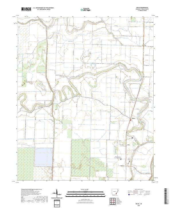
2024 Kelso
Desha County, AR
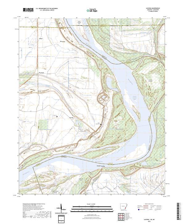
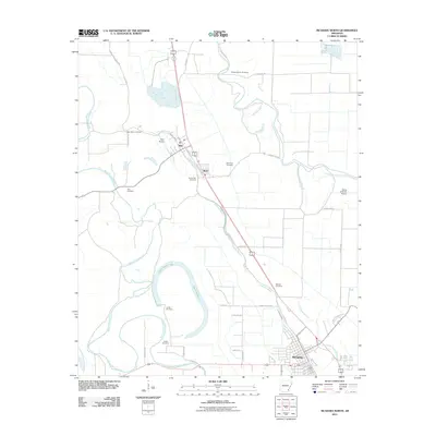
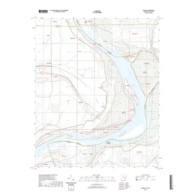
2024 Laconia
Desha County, AR
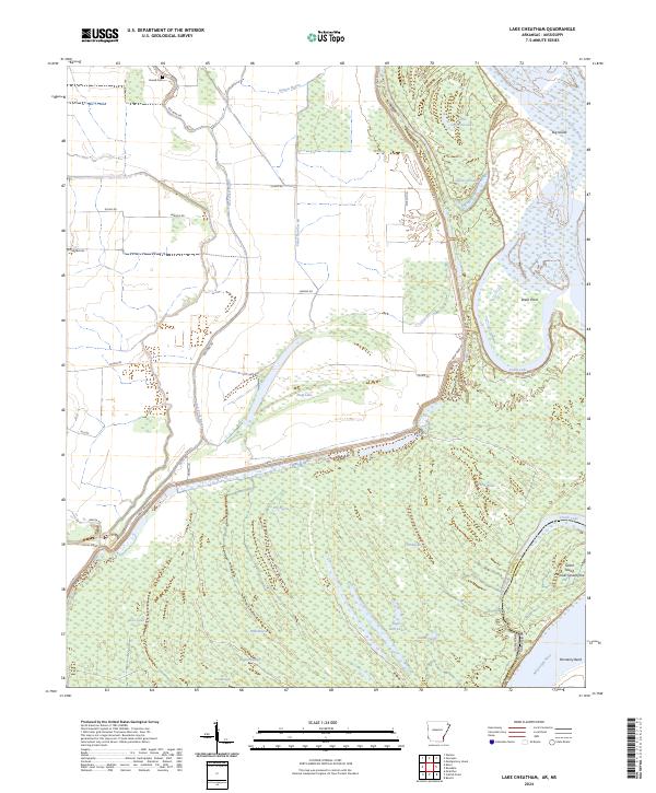
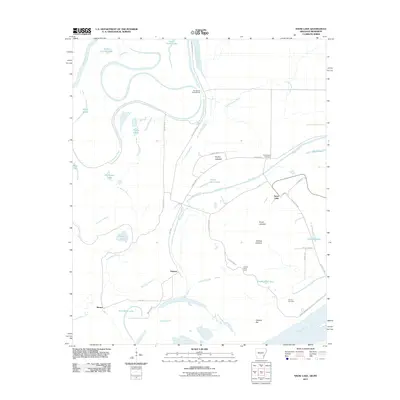
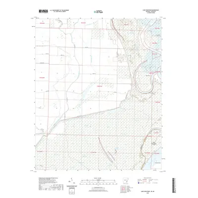
2024 Lake Cheatham
Desha County, AR
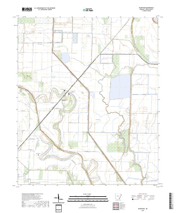
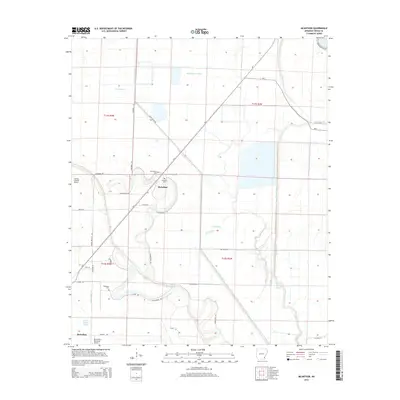
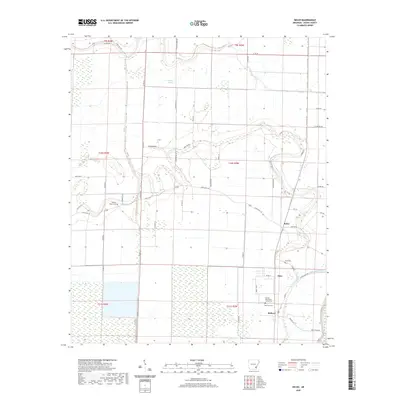
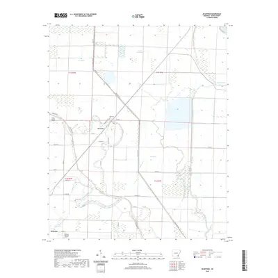
2024 McArthur
Desha County, AR
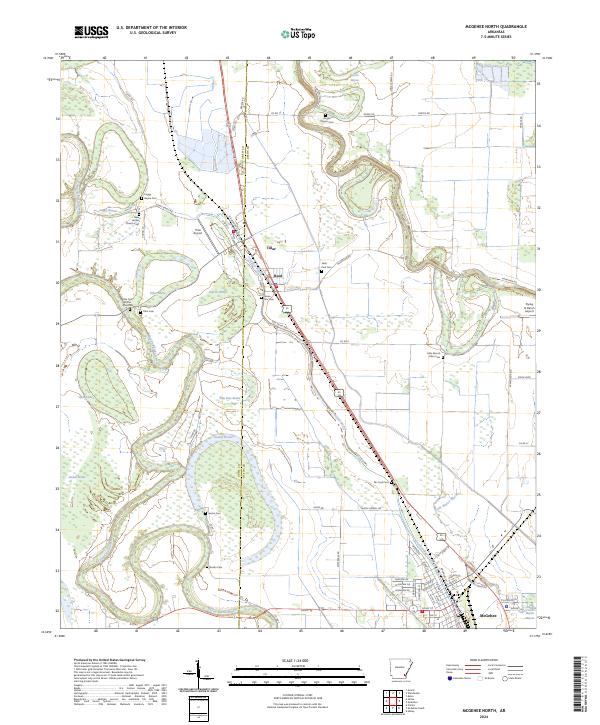
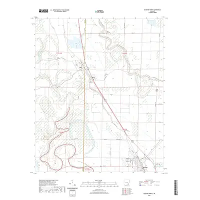
2024 McGehee North
Desha County, AR
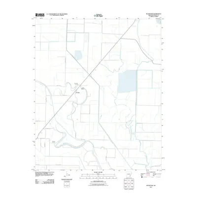
2024 Montgomery Island
Desha County, AR
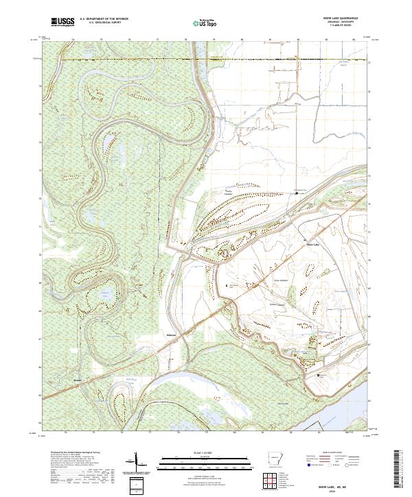
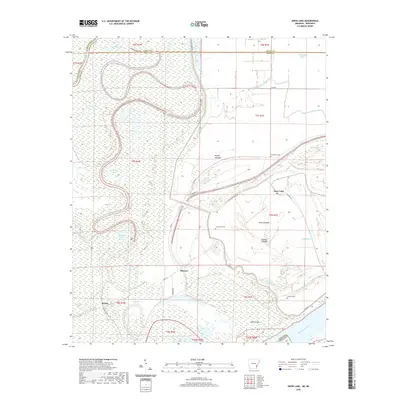
2024 Snow Lake
Desha County, AR
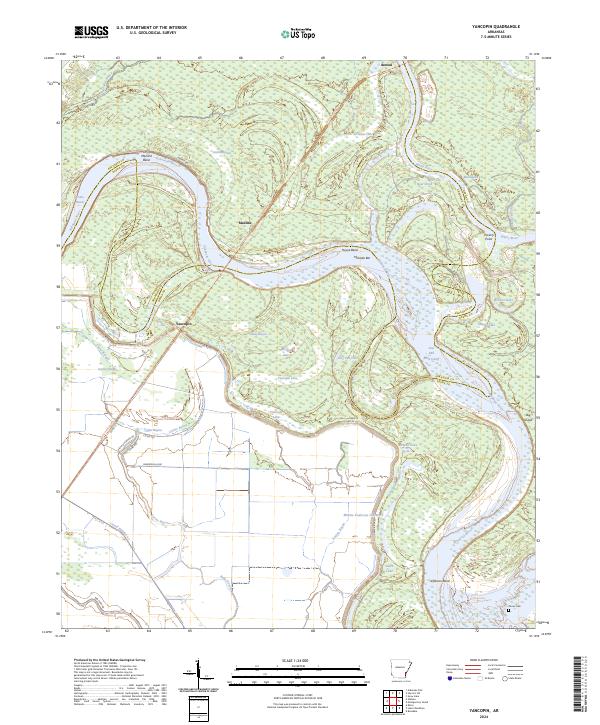
2024 Yancopin
Desha County, AR