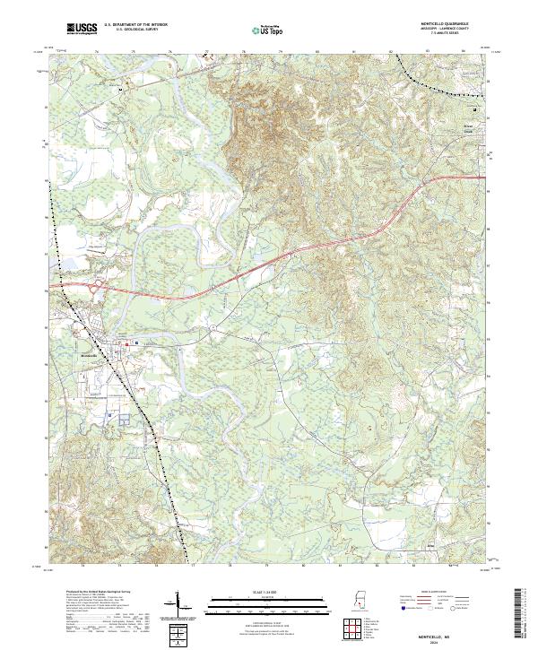
2024 Map of Monticello
USGS Topo · Published 2024About this map
Monticello serves as the focal point of this Lawrence County landscape, situated along the meandering course of the Pearl River. As the county seat, the town is anchored by the Lawrence County Courthouse, with its residential and commercial street grid extending west from the riverbanks. The surrounding terrain is defined by a dense network of tributaries including Halls Creek, Nim Branch, and Coopers Creek, which carve through the wooded lowlands and uplands.
Find a feature on this map
77 named features on this map. Tap any name to fly to it.
Don’t see what you’re looking for? This feature index may not catch every label — zoom into the map to look around manually.
Map Details
Editions of this 2024 Monticello Map
This is the sole edition of this map. No revisions or reprints were ever made.
Other maps of this area

1953 · Hattiesburg
USGS Topo · 1:250,000

1953 · Natchez
USGS Topo · 1:250,000

1956 · Natchez
USGS Topo · 1:250,000

1958 · Hattiesburg
USGS Topo · 1:250,000

1959 · Natchez
USGS Topo · 1:250,000

1970 · Prentiss West
USGS Topo · 1:24,000

1970 · Topeka
USGS Topo · 1:24,000

1970 · Monticello
USGS Topo · 1:24,000

1970 · Oak Vale
USGS Topo · 1:24,000

1970 · New Hebron
USGS Topo · 1:24,000