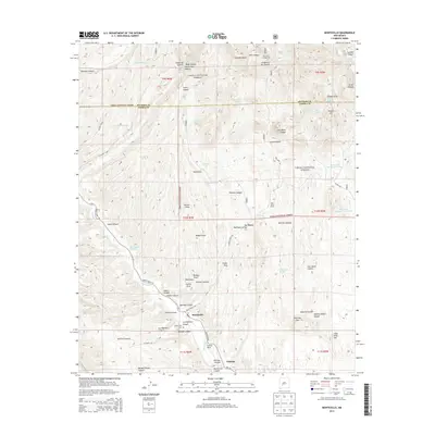
2013 Map of Monticello
USGS Topo · Published 2013About this map
Monticello sits at the heart of this Sierra County landscape, where the Alamosa Cr carves through the transition from high canyon country to the agricultural flats. The settlement pattern is defined by the proximity to water and the Cibola National Forest boundary, with the Monticello Cem and neighboring Placitas serving as focal points for local history and genealogy. The terrain is a complex network of named drainages, including Sanchez Canyon, Sullivan Canyon, and Monticello Canyon, which reveal the seasonal movements of water across this arid environment.
Find a feature on this map
70 named features on this map. Tap any name to fly to it.
Don’t see what you’re looking for? This feature index may not catch every label — zoom into the map to look around manually.
Map Details
Editions of this 2013 Monticello Map
This is the sole edition of this map. No revisions or reprints were ever made.
Other maps of this area

1954 · Tularosa
USGS Topo · 1:250,000

1958 · Tularosa
USGS Topo · 1:250,000

1961 · Priest Tank
USGS Topo · 1:24,000

1961 · Huerfano Hill
USGS Topo · 1:24,000

1961 · Sierra Fijardo
USGS Topo · 1:24,000

1961 · Monticello
USGS Topo · 1:24,000

1964 · Vicks Peak
USGS Topo · 1:24,000

1964 · Montoya Butte
USGS Topo · 1:24,000

1964 · Steel Hill
USGS Topo · 1:24,000

1965 · Jaralosa Mountain
USGS Topo · 1:24,000