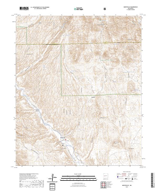
2023 Map of Monticello
USGS Topo · Published 2023About this map
Monticello serves as the primary hub in this Sierra County landscape, situated near the intersection of several significant drainages including Monticello Canyon and Sullivan Canyon. The settlement is closely tied to the path of Alamosa Creek, which threads through a network of rugged terrain marked by family-named landmarks such as Aragon Hill and Seferino Hill. This 2023 survey illustrates a high-desert environment where water is managed through a series of tanks, including Alamo Tank and Lumber Tank, and springs like Las Uvas Spring. Local history is anchored at the Monticello Cem, while the surrounding land transitions into the Cibola National Forest. The map detail traces an intricate web of canyons and draws, such as Jose Maria Canyon and Calvario Draw, defining a region shaped by both natural erosion and rural land use.
Find a feature on this map
67 named features on this map. Tap any name to fly to it.
Don’t see what you’re looking for? This feature index may not catch every label — zoom into the map to look around manually.
Map Details
Editions of this 2023 Monticello Map
This is the sole edition of this map. No revisions or reprints were ever made.
Other maps of this area

1954 · Tularosa
USGS Topo · 1:250,000

1958 · Tularosa
USGS Topo · 1:250,000

1961 · Priest Tank
USGS Topo · 1:24,000

1961 · Huerfano Hill
USGS Topo · 1:24,000

1961 · Sierra Fijardo
USGS Topo · 1:24,000

1961 · Monticello
USGS Topo · 1:24,000

1964 · Vicks Peak
USGS Topo · 1:24,000

1964 · Montoya Butte
USGS Topo · 1:24,000

1964 · Steel Hill
USGS Topo · 1:24,000

1965 · Jaralosa Mountain
USGS Topo · 1:24,000