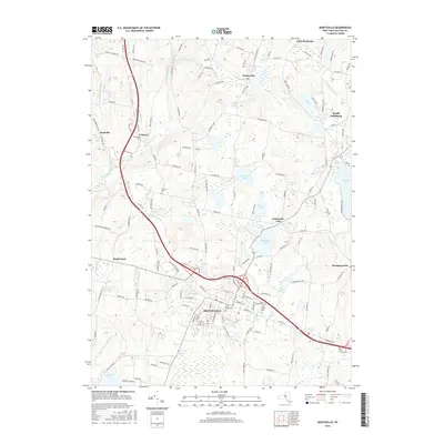
2016 Map of Monticello
USGS Topo · Published 2016About this map
Monticello serves as the central hub of this Sullivan County landscape, where the intersection of Old Rte 17 and several county roads reflects decades of transit and growth. To the north, the geography is defined by a series of significant water bodies including Kiamesha Lake, Anawana Lake, and Baileys Lake, which historically supported the region's famous resort industry. The map captures several distinct hamlets such as Hurleyville, Loch Sheldrake, and South Fallsburg, each connected by a network of winding local roads like Old Liberty Tpke. Genealogy researchers will find numerous burial grounds preserved here, including Saint Johns Cem and the General Cem. The western portion is drained by the Mongaup River and its branches, illustrating the varied terrain that separates these established Catskill mountain settlements.
Find a feature on this map
139 named features on this map. Tap any name to fly to it.
Don’t see what you’re looking for? This feature index may not catch every label — zoom into the map to look around manually.
Map Details
Editions of this 2016 Monticello Map
This is the sole edition of this map. No revisions or reprints were ever made.
Other maps of this area

1909 · Monticello
USGS Topo · 1:62,500

1910 · Neversink
USGS Topo · 1:62,500

1911 · Monticello
USGS Topo · 1:62,500

1921 · Livingston Manor
USGS Topo · 1:62,500

1922 · White Lake
USGS Topo · 1:62,500

1923 · Livingston Manor
USGS Topo · 1:62,500

1942 · White Lake
USGS Topo · 1:62,500

1942 · Neversink
USGS Topo · 1:62,500

1943 · White Lake
USGS Topo · 1:62,500

1943 · Monticello
USGS Topo · 1:62,500