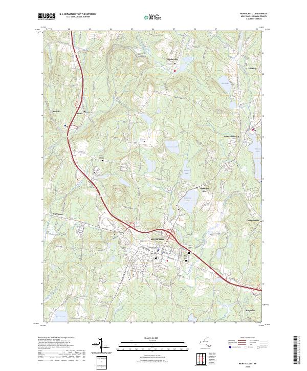
2023 Map of Monticello
USGS Topo · Published 2023About this map
Monticello serves as the central hub of this Sullivan County landscape, anchored by the Sullivan County Courthouse and a dense network of surrounding settlements. The map illustrates a region defined by its diverse water bodies and resort-era legacy, from the expansive Pleasure Lake and Anawana Lake in the north to Sackett Lake in the southwest. A significant cluster of historical sites, including Saint John Street Cem and Rock Ridge Cem, suggests deep roots in the local community. The terrain is bifurcated by the winding Mongaup River and its tributaries, such as Kinne Brook and East Mongaup River, while primary corridors like Old Rte 17 connect the various hamlets. From the village of Hurleyville to the south at Bridgeville, the layout reveals a mix of concentrated development and sprawling lakefront properties characteristic of the Catskills region.
Find a feature on this map
158 named features on this map. Tap any name to fly to it.
Don’t see what you’re looking for? This feature index may not catch every label — zoom into the map to look around manually.
Map Details
Editions of this 2023 Monticello Map
This is the sole edition of this map. No revisions or reprints were ever made.
Other maps of this area

1909 · Monticello
USGS Topo · 1:62,500

1910 · Neversink
USGS Topo · 1:62,500

1911 · Monticello
USGS Topo · 1:62,500

1921 · Livingston Manor
USGS Topo · 1:62,500

1922 · White Lake
USGS Topo · 1:62,500

1923 · Livingston Manor
USGS Topo · 1:62,500

1942 · White Lake
USGS Topo · 1:62,500

1942 · Neversink
USGS Topo · 1:62,500

1943 · White Lake
USGS Topo · 1:62,500

1943 · Monticello
USGS Topo · 1:62,500