
1952 Map of Montoso Peak
USGS Topo · Published 1954About this map
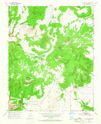
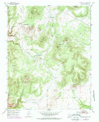
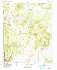
Caja Del Rio Grant and La Majada Grant define this landscape of the High Desert during the early 1950s. The terrain is characterized by a series of volcanic peaks and distinct arroyos, including Montoso Peak and the nearby Department of Agriculture Experimental Area. This 1952 field survey captures the reliance on scattered water sources across the arid plateau, documented through features like Tank Thirty-one, Twelve Hundred Well, and Rito Reservoir.
Find a feature on this map
29 named features on this map. Tap any name to fly to it.
Don’t see what you’re looking for? This feature index may not catch every label — zoom into the map to look around manually.
Map Details
Editions of this 1952 Montoso Peak Map
4 editions found
Other maps of this area

1892 · Santa Clara
USGS Topo · 1:125,000

1951 · Agua Fria
USGS Topo · 1:24,000

1951 · Turquoise Hill
USGS Topo · 1:24,000

1952 · Turquoise Hill
USGS Topo · 1:24,000

1952 · White Rock
USGS Topo · 1:24,000

1952 · Frijoles
USGS Topo · 1:24,000

1953 · Cochiti Dam
USGS Topo · 1:24,000

1953 · Santo Domingo Pueblo
USGS Topo · 1:24,000

1953 · Horcado Ranch
USGS Topo · 1:24,000

1953 · Tetilla Peak
USGS Topo · 1:24,000